All cities have parklands, so what makes Adelaide different? It is our unique inheritance of a well-planned city, supposedly 'one mile square', with wide streets, large public squares, a river dividing the main city core from an attractive, elevated residential section to the north; and all surrounded by Park Lands, originally 930 hectares, now down around 700 hectares and shrinking through ad hoc decision-making, though still very substantial.
These Park Lands were also the first public park in the world. Before Adelaide’s establishment in 1837, the only Parks that existed anywhere in the world were owned by royalty, or private, wealthy land owners. It was a radical initiative to create a planned city with Park Lands for all.
Thanks to the National Trust of SA, Adelaide City Explorer, and Starkeyz Films for permission to post this video.
The Adelaide Park Lands are poorly protected by State legislation. The Adelaide Park Lands Act 2005 imposes no limits on how much of the Park Lands may be confiscated for purposes other than Open Green Public use.
Even National Heritage listing, in 2008, under Federal legislation, has failed to stop a never-ending stream of new developments that take away from Open Green Public Park Lands.
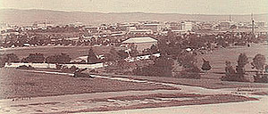
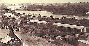
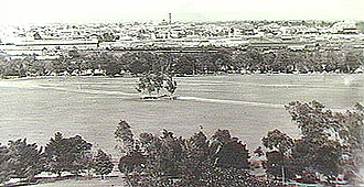
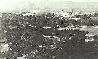
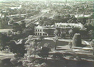
Pictures courtesy of the State Library of South Australia.
Thanks to the National Trust of SA, Adelaide City Explorer, and Starkeyz Films for permission to post this video.