by David Winderlich
It is amazing what you can see in a dry creek bed.
The bed of the South Park Lands Creek near the Oxbow playspace in Pelzer Park / Pityarilla (Park 19) is covered in crisp bark and leaves. The effects of the driest summer of the last forty years crunch beneath my feet.
Yet stretches of the creek bed are covered in vivid green, the native Austrostipa, or Spear Grass is somehow extracting enough water to flourish.

Austrostipa thriving in the dry bed of the South Park Lands Creek, in Pelzer Park / Pityarilla (Park 19). Pic: David Winderlich.
Its flourishing brings insects and birds, and when it rains, the singing of frogs. That little stretch of stubbornly damp creek bed is a part of a series of interconnected refuges, where life waits out the dry, ready to recommence eating and breeding and flowering when conditions allow.
You can watch for, amongst, other things, white faced herons or the Meadow Argus and Common Brown Butterfly.
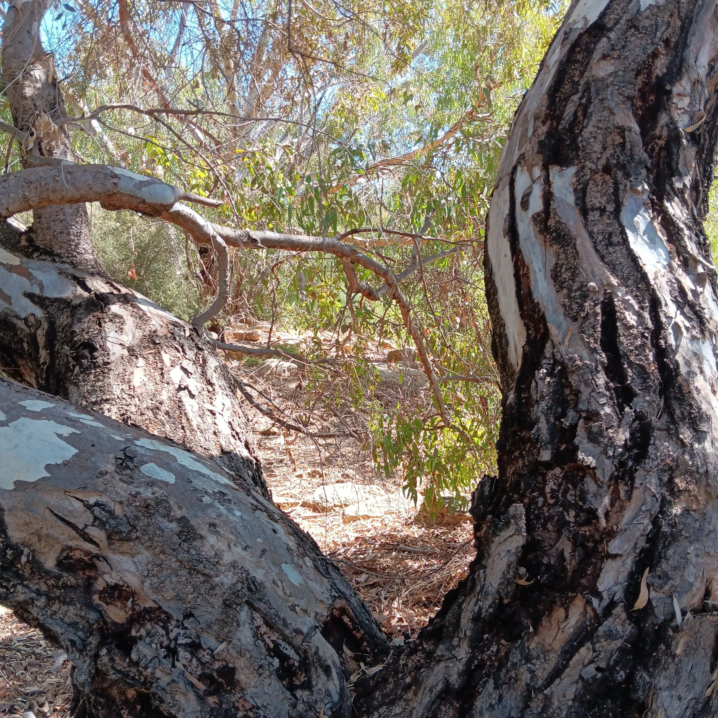
Even a bone dry creek bed can be beautiful. Here it is framed by a river red gum.
It is the tip of a great green iceberg, a clue to the vast ecosystem that runs through our city. Creeks such as the South Park Lands Creek, Botanic Creek, and First Creek are the visible veins of that ecosystem.
It is also, less poetically referred to as, stormwater management, flood mitigation or urban planning. Because this little oasis also reflects the human footprint, when we tread softly.
The creek is artificial, first constructed in 1917 to channel water away from Greenhill Road. However when the creek flooded so did Wayville and parts of Unley. This flooding was the result of your Park Lands being hemmed in by hard surfaces, which overloaded them, and hindered their natural role as a sponge, absorbing and releasing water.
The opening of the beautiful wetlands in Victoria Park in 2022, as part of the Brown Hill Keswick Creek stormwater project, gave Adelaide back its sponge, or at least some of it.

Of course floods still happen. Wayville on 28 November 2023. Pic: David Winderlich
And, just as marine life turns a sunken warship into a fecund reef, skilful “artificial” wetlands can become absorbed into and enhance the natural environment of urban spaces.

You can think of your Adelaide Park Lands as a moat. That’s what they look like on a map, a moat separating the vast concrete ring of the city, from the inner concrete fortress of the CBD.

On a map, your Park Lands look like a moat, separating the vast concrete ring of the suburbs, from the inner concrete fortress of the CBD.
Moats are a barrier, a protection, a prophylactic. But your “moat” is repeatedly breached.
If you think of your Park Lands as the centre of a web of waterways, you look for connections.
You can imagine a network of mini-linear parks, with life coursing from the hills to the sea through all of your parks and creeks. Your Adelaide Park Lands then can be seen for what they are and should remain: the heart of a green city, filled with life, and wary voters.
It’s amazing what you can see in a dry creek bed.
Banner pic (at top): An APA Guided Walk in Park 19 near the dry bed of the South Park Lands Creek in Pelzer Park / Pityarilla (Park 19)