by Shane Sody
A new resource has become available to help you explore culturally significant Kaurna sites along the River Torrens / Karrawirra Pari, including many sites within your Adelaide Park Lands.
A new 24 page booklet “Kaurna Interpretive sites - River Torrens /Karrawirra Pari” has been jointly published by Walking SA and Preventive Health SA.
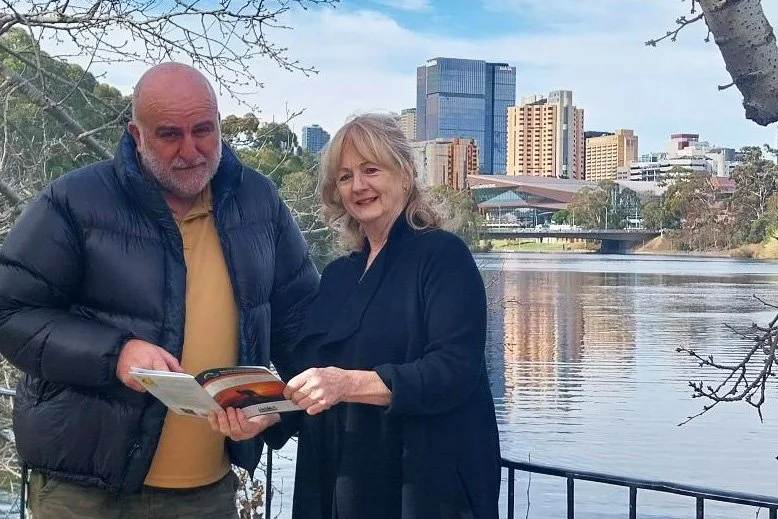
Rod Quintrell, Walking SA Executive Director, with one of the co-authors, Denise Schumann OAM, Cultural Heritage & Historical Consultant. Pic: Walking SA.
The booklet features 14 sites within Adelaide, between Walkerville and West Beach.
This richly illustrated and culturally sensitive resource was authored by historian Denise Schumann and Aunty Lynette Crocker. It offers walkers an immersive experience into the living culture of the Kaurna people — the Traditional Custodians of the Adelaide Plains.
Some of the sites featured in the booklet are also covered within the various Adelaide Park Lands Trail Guides published on this website.
The various Kaurna Interpretive sites reveal stories of country, language, ecology, and Kaurna history. Each of the 14 site descriptions includes Kaurna names, cultural interpretations, and reflections on the history and continuing connections to land and water.
The locations covered include two sites potentially under threat from State Government plans to “re-develop” the North Adelaide Golf courses in Possum Park / Pirltawardli (Park 1).

The 14 sites are:
Breakout Creek at West Beach
Ancient red sand dunes on Kooyonga golf course
Karrauntungga – the Hindmarsh Triangle at Adam Street Reserve;
Old Adelaide Gaol in Park 27;
Pirltawardli ‘Brush Tail Possum House’ in Park 1;
Tininyawardli ‘The Colonial Store’ in Park 1;
Montefiore Hill in Park 26;
Adelaide Oval / Tarntanya Wama in Park 26;
Tarnta Kanya – Festival Theatre in Park 26;
Government House & King William Street;
Tarntanyangga – Victoria Square;
Botanic Park – Kaurna Camping Place – Karra (Ancient Red Gum) in Park 11;
Karrakuk – Hackney Ford; and
Kaurna Burial Site – Tennyson Bridge – Walkerville Terrace.

One of the booklet’s many illustrations: “Adelaide from the north” c1845 by F.R. Nixon
The area covered by the booklet represents part of the much longer Adelaide100® trail — a loop walking trail based on the old Adelaide HUNDRED map. The Adelaide100® is a route of almost 120km showcasing the city’s natural, cultural, and historical treasures.
You can download the booklet here: (PDF, 24 pages, 2.8 Mb)