

Take the Trail
Start at the corner of MacKinnon Parade and Jerningham Street.
This Trail is on the traditional land of the Kaurna people.
The Trail is about 2km long. Allow 90 minutes.

Optional: download and print a tri-fold leaflet, i.e. a double-sided single A4 page, with a brief summary of this Trail Guide: (PDF, 3.2 Mb)

1. Naming & Soldiers’ Memorial
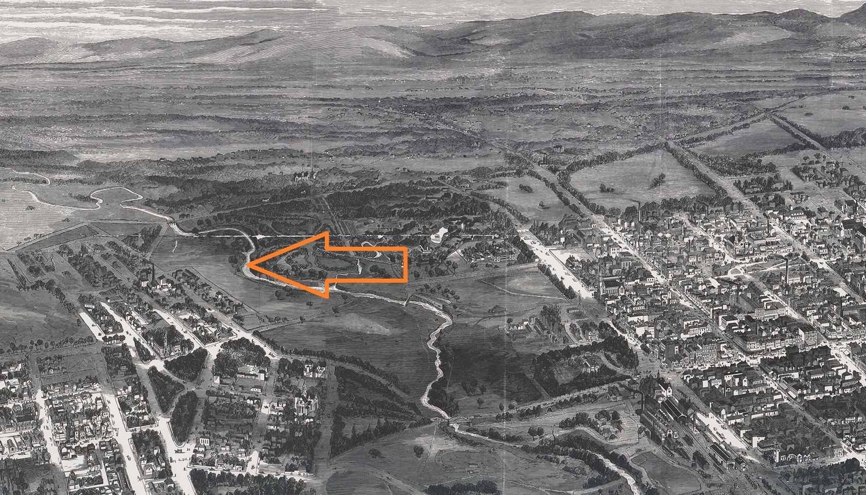
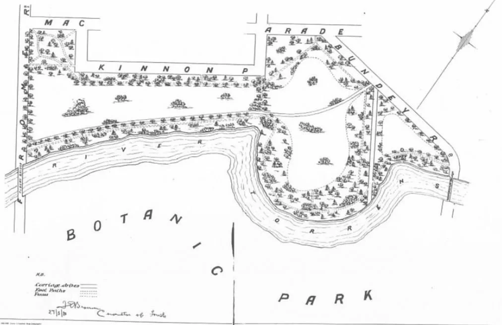
Park 10 - Warnpangga, or in English, Bullrush Park, is located between MacKinnon Parade, Hackney Road, Bundey’s Road, War Memorial Drive, and Frome Road. It is well known for its usage by the Adelaide University’s various sporting clubs.
Park 10 also holds significance to the Kaurna community. Long before European settlement and even up to the 1850s, the area was a camping ground here, due to its proximity to the River Torrens/ Karrawirra Parri.
There is also a high probability that it was used by Kaurna people for burial sites.
Over many decades, significant gardening took place to establish lawns, trees, shrubs, and pathways to create the park you see today.
The English name Bullrush Park comes from the Kaurna translation of Warnpangga to ‘bullrush root place’. This was a prominent food source for the Aboriginal communities along Karrawirra Parri (River Torrens). The suffix ‘ngga’ translates to ‘location’.
The first place on this two-kilometre Trail, the Soldiers Memorial Garden, is here on the corner of Jerningham Street and MacKinnon Parade.

This garden was officially opened in March 1921, after the proposal to construct the garden was approved several months earlier, in October 1920.
The Soldiers Memorial Garden includes both the garden and the plaque in honour of soldiers who fought in World War One.
Like many other war memorials around Australia, the plaque lists the names of locals who died in that War.
The inscription on the plaque reads:
Sons of this place, let this of you, be said,
That you who live are worthy of your dead.
These gave their lives that you who live may reap
A richer harvest ere you fall asleep.
The City Council agreed to take over care and control of the Garden in 1921 and this included creating a footpath and planting lawn, trees and shrubs around the memorial.

From here, walk over to the dirt running track, at the road corner, i.e. to the wooden post that says 2,200 metres and ‘Start’).

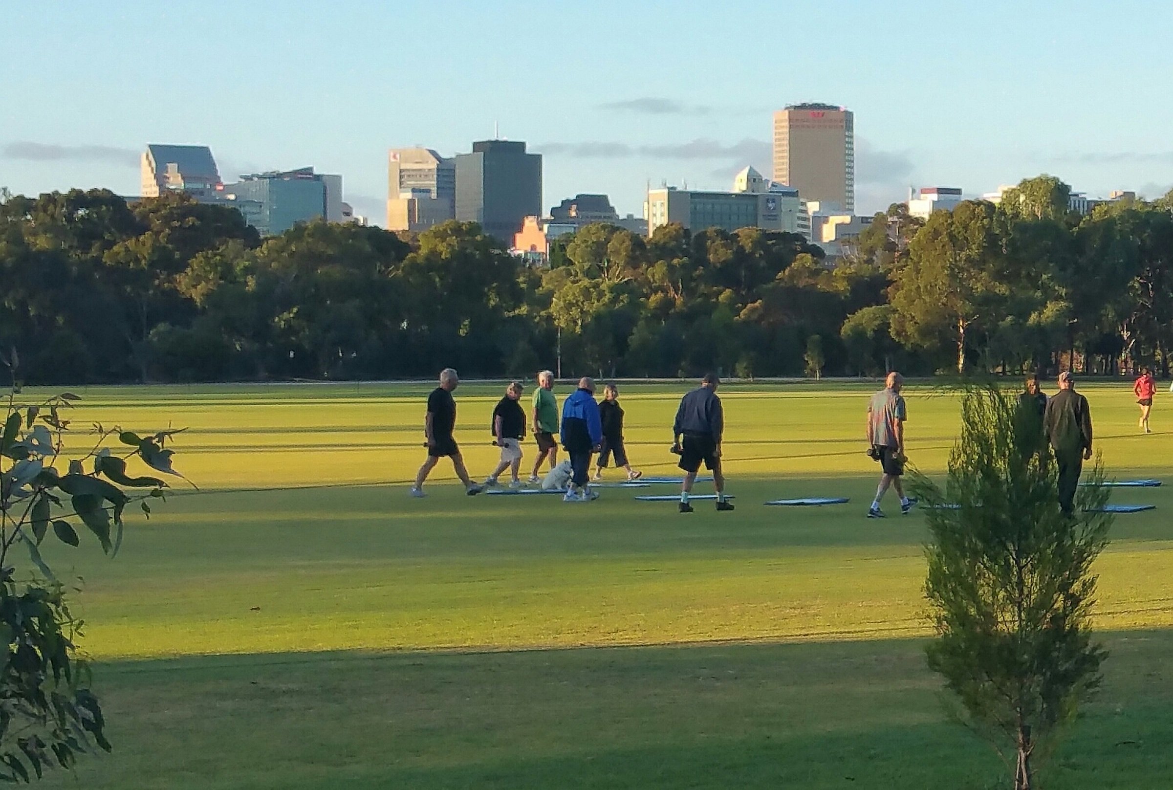
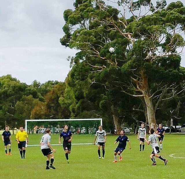
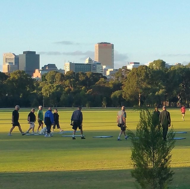
2. Uni Loop Run
.
The Uni Loop Run is a frypan-shaped running loop of 2.2 kilometres around this Park, bordering MacKinnon Parade and War Memorial Drive.
It has distance markers each 200 metres which allows those using the track to be aware of how much distance they have covered or have left to complete, and to check their times for each section.
As running tracks go, this one is considered easy, because it has no hills! However, there is a hazard warning that the ground may be uneven due to the gravel path surface.
You can start or stop anywhere on the loop but officially it begins on MacKinnon Parade and allows runners to go either clockwise or counter-clockwise. It is often used by sporting clubs (including the Adelaide Crows) for training or pre-season fitness.
One part of it is close to the Adelaide Zoo, so when used around Zoo feeding times, runners have reported hearing animals such as the lions roaring.

For many years this running loop was the scene for an ultra-distance running event: a six-hour, 12-hour and 24-hour endurance races, where runners try to run as far as they can over the time limit.
However the final such event was held in July 2021. The event was won by Sonja Jansen who completed 106 laps of the track (233.2 kilometres) in 24 hours.
From here, walk straight across the oval to the old grandstand.

3. University Grandstand
This historic Adelaide University grandstand was built in 1930.
In the late 1920s, an application was submitted from the Minister of Education on behalf of the Adelaide Teacher’s Training College to lease part of this Park.
At the time of the application, the Adelaide Teacher’s Training College received an anonymous gift of £2,000 which allowed the college to erect the grandstand with both men’s and women’s changing rooms. The gift was later found to have come from the then-Chief Justice, Sir George Murray.
In 2018, a restoration of the grandstand was undertaken by Brimblecombe Builders. Prior to the restoration, the building was leaning five degrees and had extensive salt-damp damage.
The restoration included new structural framing, repaired brickwork, restoration of the change rooms and refurbishing all of the seating.
Despite its age, the building is not on the State Heritage register.
Next to the grandstand there are two fenced tennis courts, leased to Adelaide University. They are generally used only during the summer months. Others can use the courts by arrangement with the University.
From here, walk behind the grandstand, and walk eastwards, in-between the fenced tennis courts and the high hedge. Stop when you reach the Uni loop running track, just before War Memorial Drive.

4. Sandcarters Road
The path at the eastern end of the park is still part of the Uni Loop running track. However, more than 100 years ago, it was known as the Sandcarters Road.

A cyclist on the part of the Uni Loop running track, that was formerly known as Sandcarters Road
This road was constructed in the 1860s as a route for sand carters to access Karrawirra Parri (River Torrens) and to confine the activities of sand carters to a single location. That is to say, to ensure that sand mining was done in only this one location in your Park Lands.

1927 Map showing Sand Carters Road. City of Adelaide archives
On early maps, Sandcarters Road can be seen going from Karawirra Parri (River Torrens) to Bundeys Road.
Sand carting during the 1800s was extremely common, and was later used to raise revenue.
However, in the early 1900s, most of the revenue that was raised from sand carting was used to repair the damage to the riverbank caused by the sand carters.
From this point, follow the path northwards until you come to a large Moreton Bay fig tree on your right.

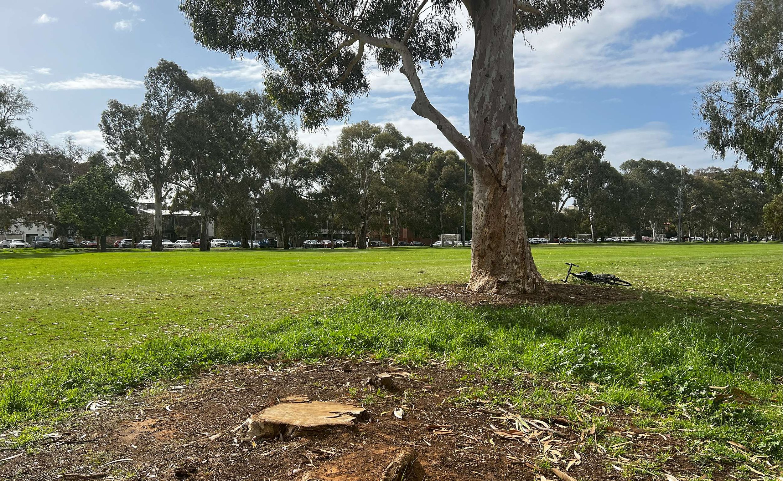
5. Moreton Bay Fig Trees
This Moreton Bay Fig tree would have been planted sometime between the 1860s and the 1880s. It is considered to be still in good health and form. There are two more, even larger Moreton Bay fig trees a few metres further north.
Moreton Bay Figs are known to grow up to 50 metres tall. They are branched heavily and are known for spreading masses of foliage, and having massive buttressed roots.
They are common along the eastern coast of Australia, especially in South East Queensland, and can also be found in Papua New Guinea.
There are many of them in the Adelaide Park Lands, including in Botanic Park, and an avenue of them in the Adelaide Botanic Gardens.
From here, walk eastwards back towards War Memorial Drive, alongside a high wooden-lined wall on your left. This wall marks the southern boundary of the Adelaide Archery Club field. Look out for red danger warning signs! When you reach War Memorial Drive, turn left and stop at the Archery Club building.

6. Archery Club
Archery in South Australia has a rich history that dates back to 1836 with the arrival of the first European settlers.
Adelaide’s surveyor, Colonel William Light was a keen archer, who brought two longbows with him when he arrived, and encouraged others to the sport.
The original Adelaide Archery Club began recording its activities from the 1850s, but participation declined from the early 1900’s, due mostly to the impact of the World Wars.
From the late 1940s, archery in Adelaide enjoyed something of a revival. For a few years in the 1940s, there were two clubs: the Adelaide Archery Club and the Archery Cub of South Australia.
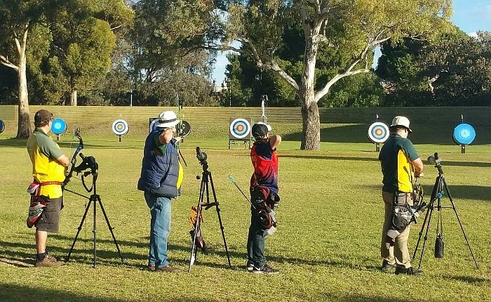
The two groups united in 1946 and later agreed to return to the original name of Adelaide Archery Club.
The club has been located here in Park 10 since 1950, and has produced many Australian champions both in national and international competitions, including the Olympics. Notable members include Simon Fairweather and David Barnes.
The club has also been involved in assisting the foundation of other archery clubs, in the metropolitan and country areas.
The Adelaide Archery Club runs three programmed shoots a week and offers beginners classes.
When the area is in use for archery, there are large yellow signs and red flags that warn “Caution: archery field in use – No Entry”.
In 2023, the City of Adelaide approved a $100,000 grant to renovate and extend the Archery Clubrooms.


In August 2024, the upgrading work was well under way.
Read more about the Archery Club here.
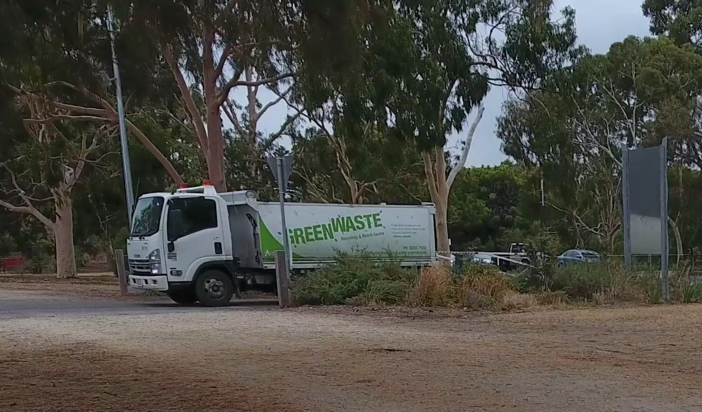
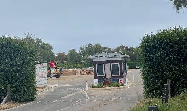
From here, turn around and walk back the way you came, following War Memorial Drive until you come to the entrance to the City Council’s Green Waste Recycling centre.

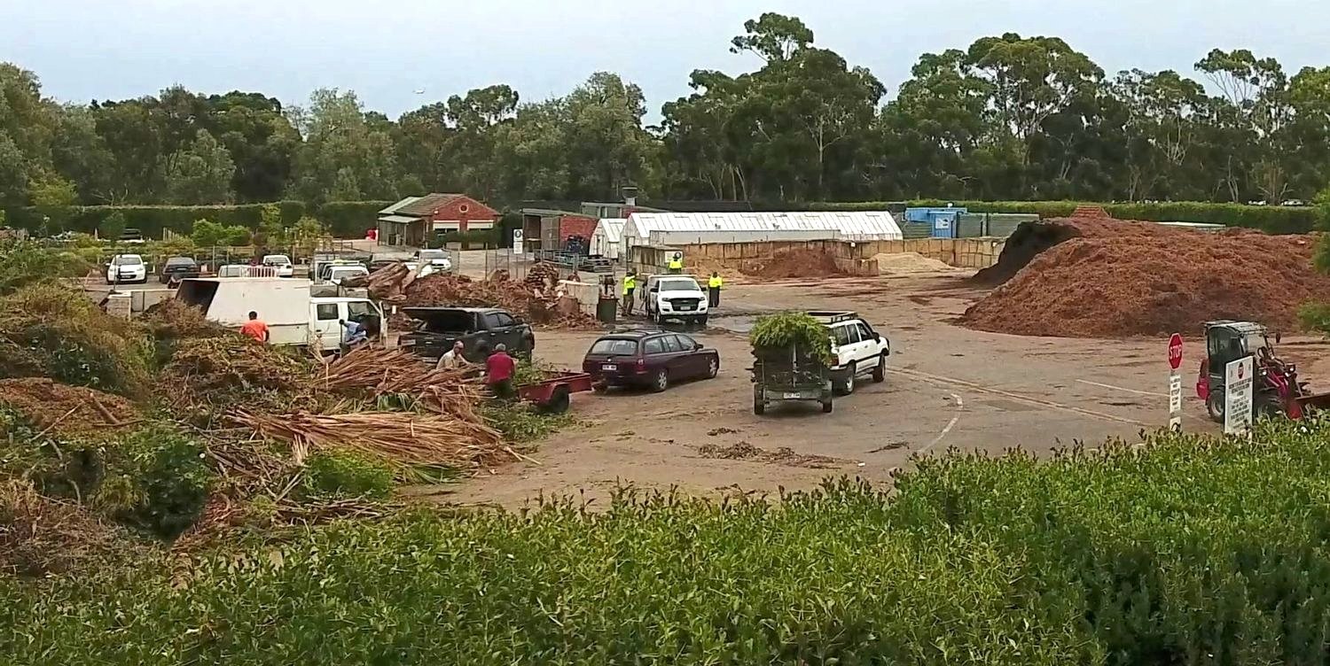
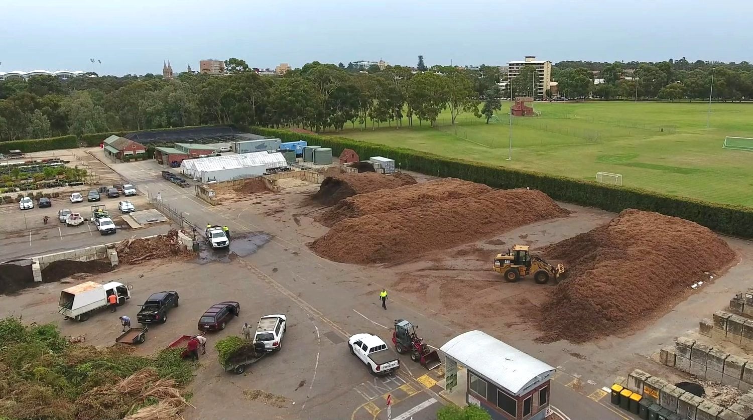
7. Green Waste Recycling
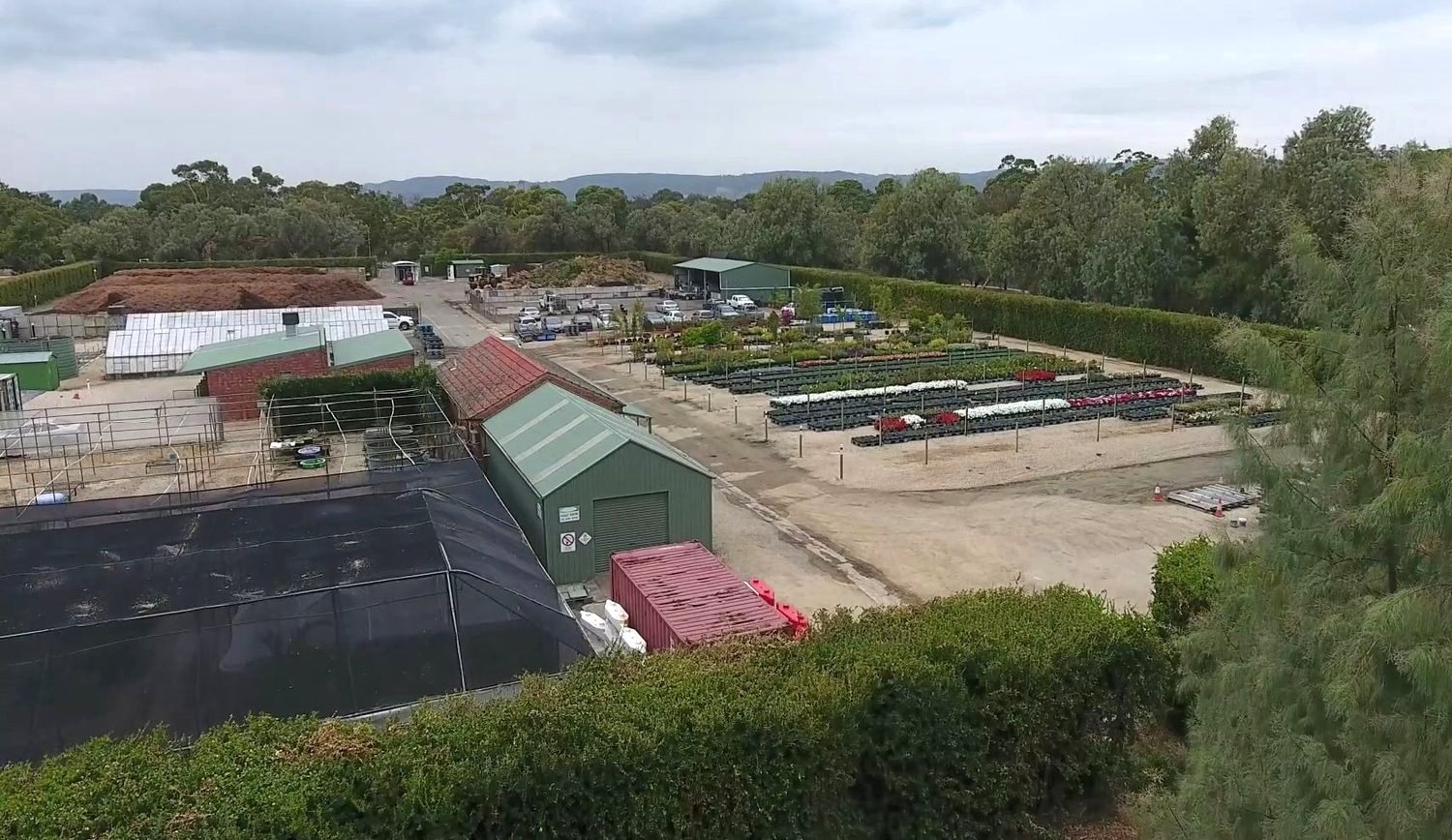
The City of Adelaide uses this two-hectare area behind the hedge as a Green Waste Recycling and Mulch Centre.
It is open to the public to dispose of organic material and to purchase mulch or compost.
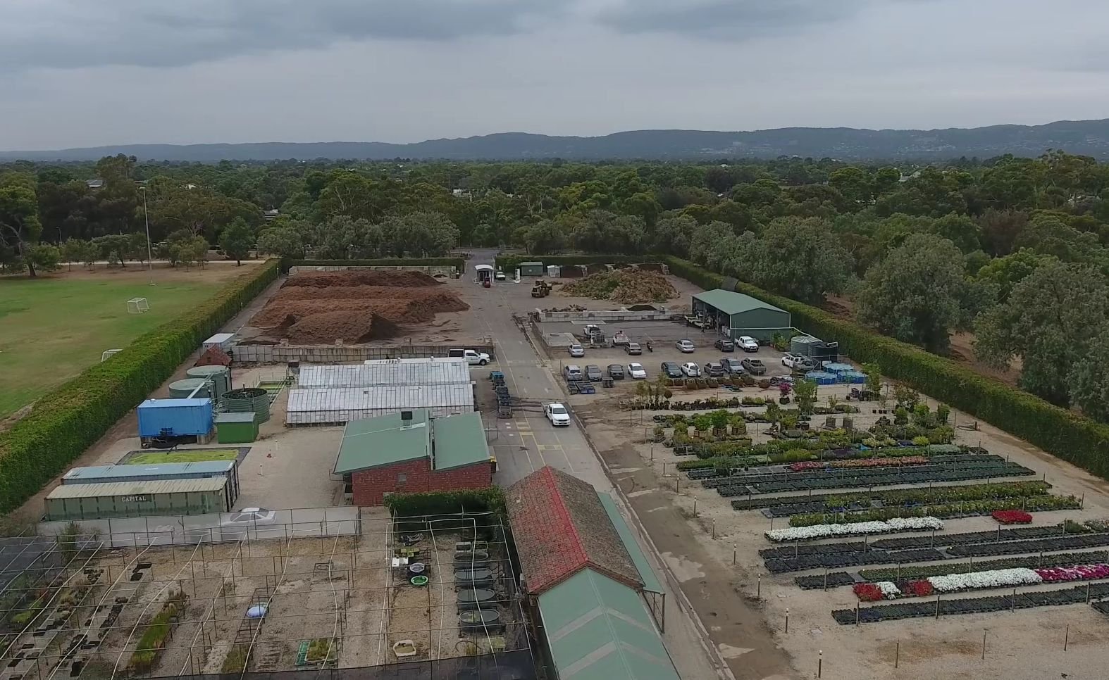
This site is also notable historically, for two reasons.
Only two years after European settlement, in 1839, it was chosen as the site for the Adelaide Botanic Garden. Governments were creating Botanic Gardens all over Australia at this time, with Sydney developing theirs in 1816, Hobart in 1818 and Brisbane in 1828.
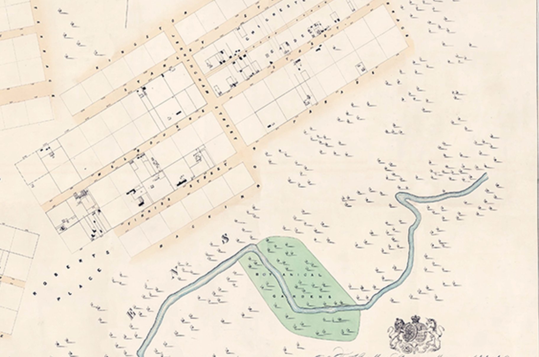
Adelaide’s first Botanic Garden, here, was under the care of John Bailey, an experience horticulturist. However Bailey was retrenched in 1841, and other early settlers (George Stevenson, George McEwen, William Haines and George Francis) managed the site over the next 17 years.
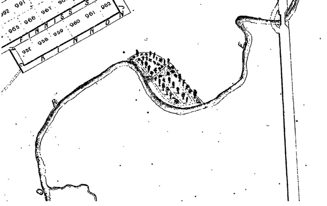
Eventually it was decided that there was a better site, just off Frome Road in Park 11, and so the Adelaide Botanic Garden was created at its present site in 1856.
In 1912, there was a new interest in this site. The Botanic Gardens Board obtained a lease of 21 years to create a Deer Park on this site.
Although the the City Council approved the lease in 1914, the development of the proposed deer park was postponed due to the war.
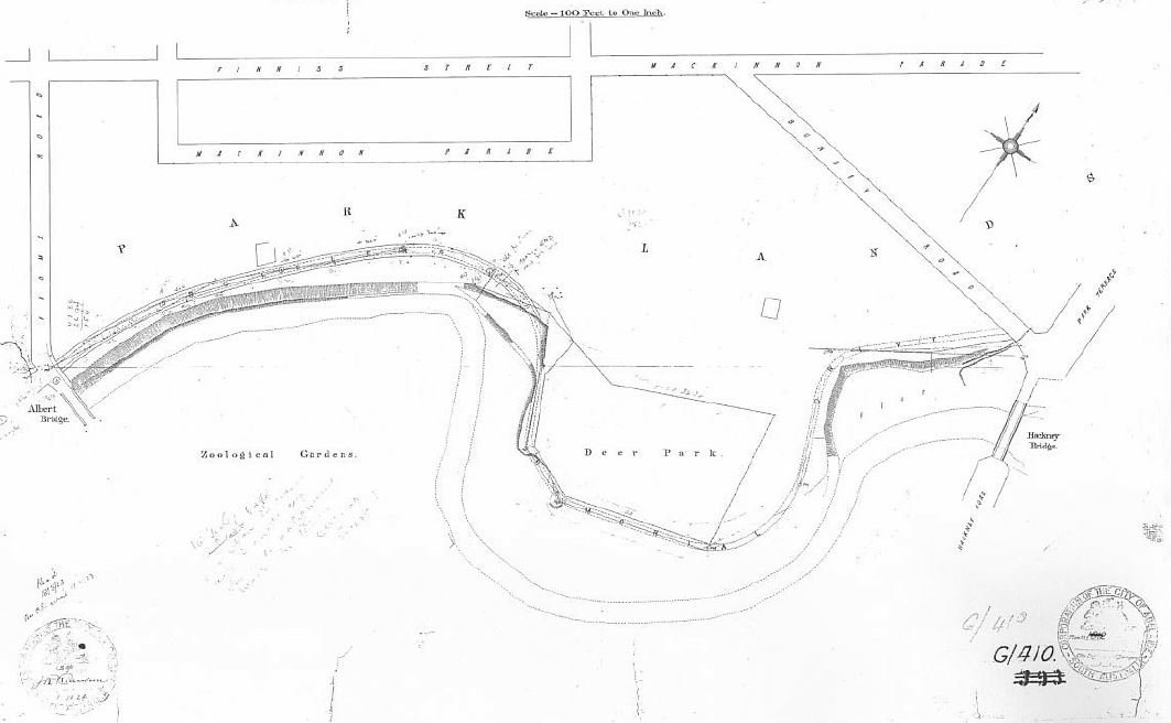
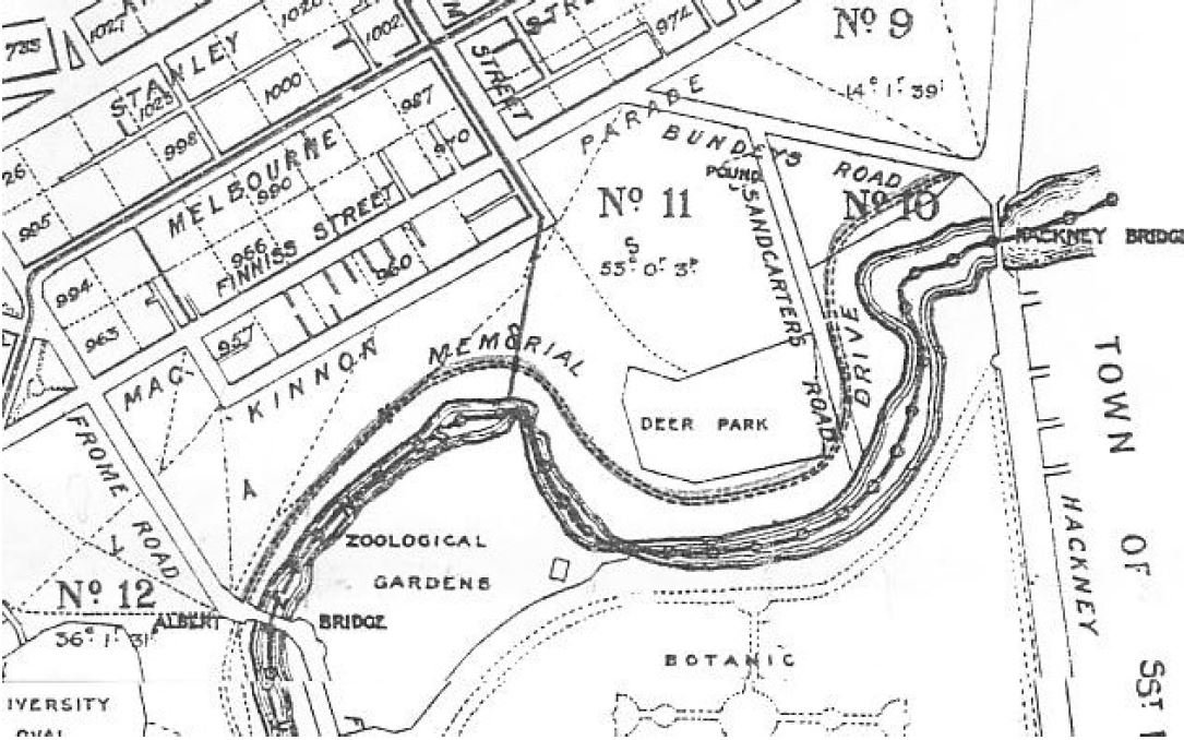
After the war ended in 1918, high fences and chains were installed around the boundaries of the proposed “deer park” yet the park did not proceed. No deer were ever placed here.
Eventually the lease was cancelled and the fences removed.
From this point, keep walking south (or clockwise) along the running loop until you come to a hedge corner, where there is a wooden post marked ‘600 metres’. Here you can see a number of droopy dark trees on two sides of the green waste hedge.

8. Athel Pines & Kei Apple Hedge
These trees are called Athel Pines (Tamarix aphylla). They are native to North Africa, and Arabia and were introduced to Australia in the 1930s and 40s to be planted in semi-arid regions such as Broken Hill and Whyalla and are now common throughout South Australia. Athel pines are suitable for dry habitats where water is available in the subsoil.
These trees were planted here in Park 10 between the 1940s and the 1950s.
Although they look similar to native she-oaks, they are now recognised as a weed or invasive plant; one of the worst in Australia. They have an extreme impact on watercourses in pastoral zones.

They are considered to provide inferior habitat for wildlife and can affect other native plants around it.
Athel pines have deep roots that are able to tap deep water and cause small springs to dry up. They are known to displace native plants, infesting watercourses and reducing the channel capacity.

A Kei Apple hedge, fruiting.
The hedge around the green waste recycling centre is a plant called Kei apple.
They used to be known as “kaffir apples” but “kaffir” is a derogatory term so the preferred name is kei apple. The fruit is edible and looks like an apricot, but is quite bitter like a lemon.
In the early 1900’s, City gardener August Pelzer planted a lot of these hedges around Adelaide’s playgrounds, council depots and smaller gardens.
From this point, walk westwards, in between the athel pines and the hedge, until you reach a set of exercise equipment.

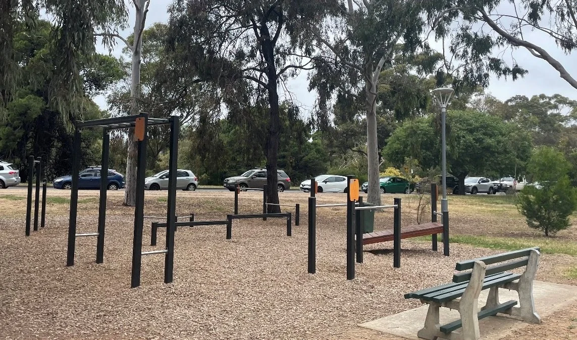
9. Exercise equipment
This is just one of the four locations within Park 10 that feature free-to-use gym and play equipment. They are suitable for all fitness levels and are able to be used for anything from stretching to high intensity workouts.
The equipment allows for mobility, cardio and strength training.
The other three locations are:
next to the Soldiers Memorial Gardens where we started this Walk,
near the archery field, and
near the University Graduates clubrooms which we’ll get to shortly.
From this point, walk northwards, off the path and go on the dirt trail that winds in-between double lines of lemon-scented gum trees.

10. Lemon Scented Gums
These two parallel rows of Lemon Scented Gums were planted in the 1970s. Despite the common name this tree is not a eucalyptus.
Its scientific name is Corymbia citriodora, and is well known for creating a strong visual effect and for its lemon scented leaves.
The Lemon Scented Gum generally grows in open forests or woodlands throughout mainland Australia.
It has been described as one of Australia’s most beautiful trees. It can grow over 40 metres naturally, but under cultivation it is more likely to grow between 20 and 30 metres.
The bark is smooth and can be found in a range of colours including white, pink, red and blue/grey. Its timber is strong and structural and is often used for beams, bridges, flooring etc.
The flowers on the tree have been used in honey production. It also contains a volatile oil that has been known to be used it medicines and cosmetic items.
It is notorious for dropping large sheaves of bark during the summer months and occasionally dropping large branches as well!

From this point walk back across the playing field to the edge of War Memorial Drive, where it is on a curve, and look back at the playing fields.

11. University sports grounds
.
The University Sports Grounds here are a significant part of Adelaide’s history.
In the early 1900’s, the University of Adelaide obtained permission to use and maintain sports fields both here in Park 10, and also across Frome Road in Red Gum Park / Karrawirra (Park 12).
These approvals have been renewed over and over again, for more than 100 years, allowing for a wide range of sports to take place.
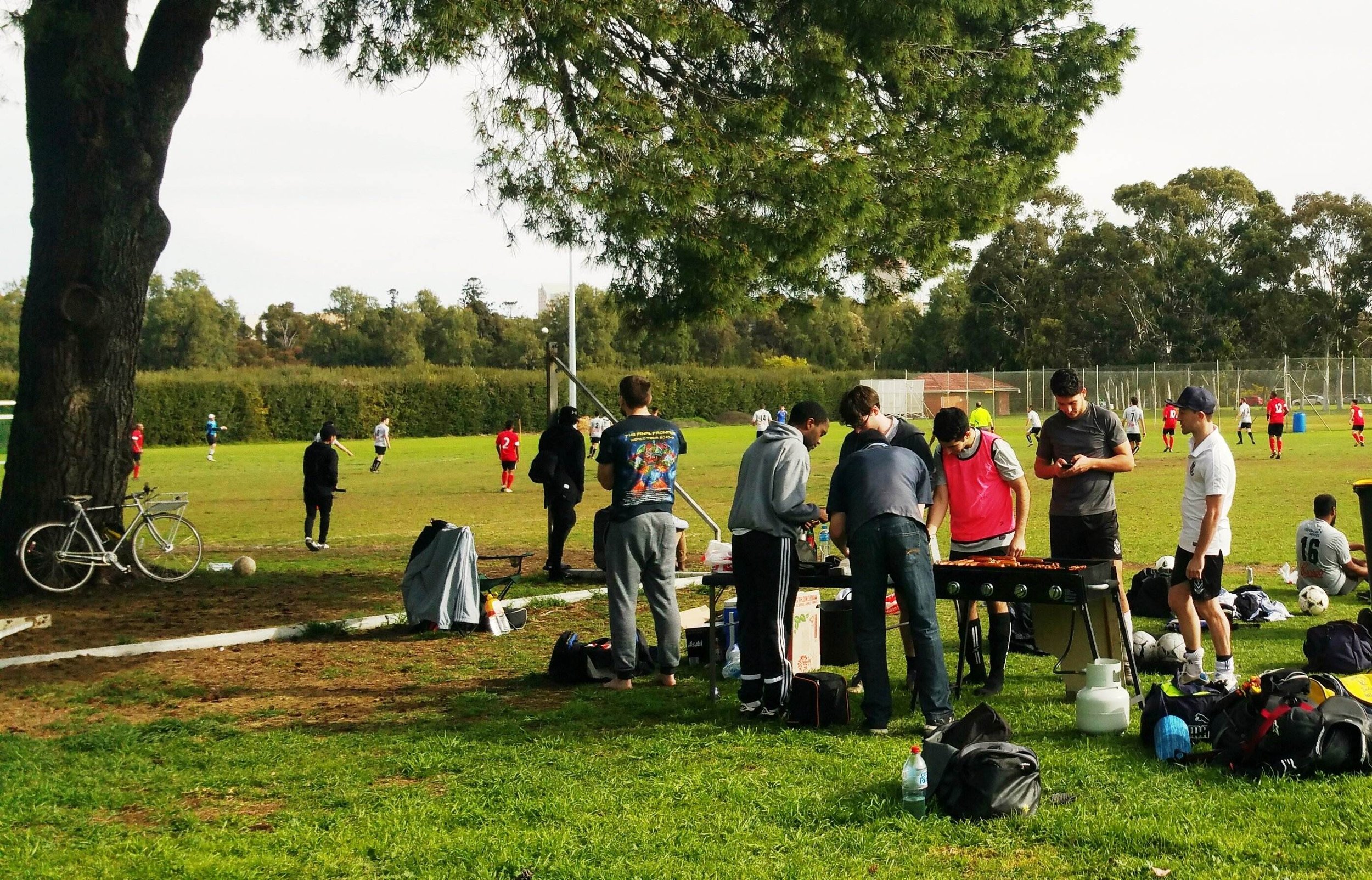
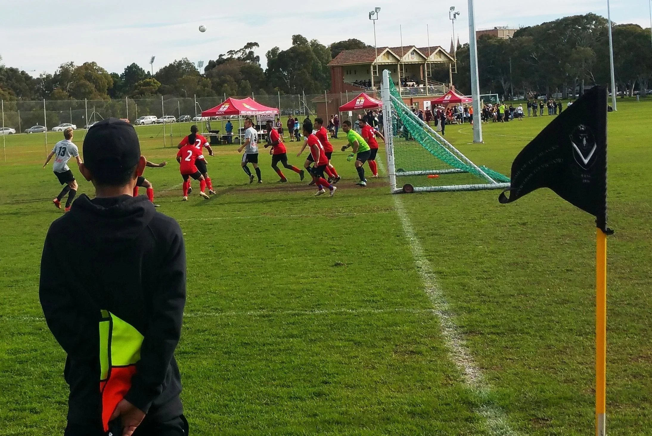
In summertime, cricket is played on two fields in this park. During the winter period, these are used for soccer.
In addition, the fenced tennis lawns are leased by the University and are also available for the public to hire.
The sporting grounds are also available to the public to use when the University does not require them for its organised sport.
From here, walk along the edge of War Memorial Drive and stop where you can see two large river red gum trees, set back from the roadway and the other trees on the road’s edge.
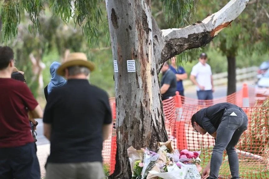
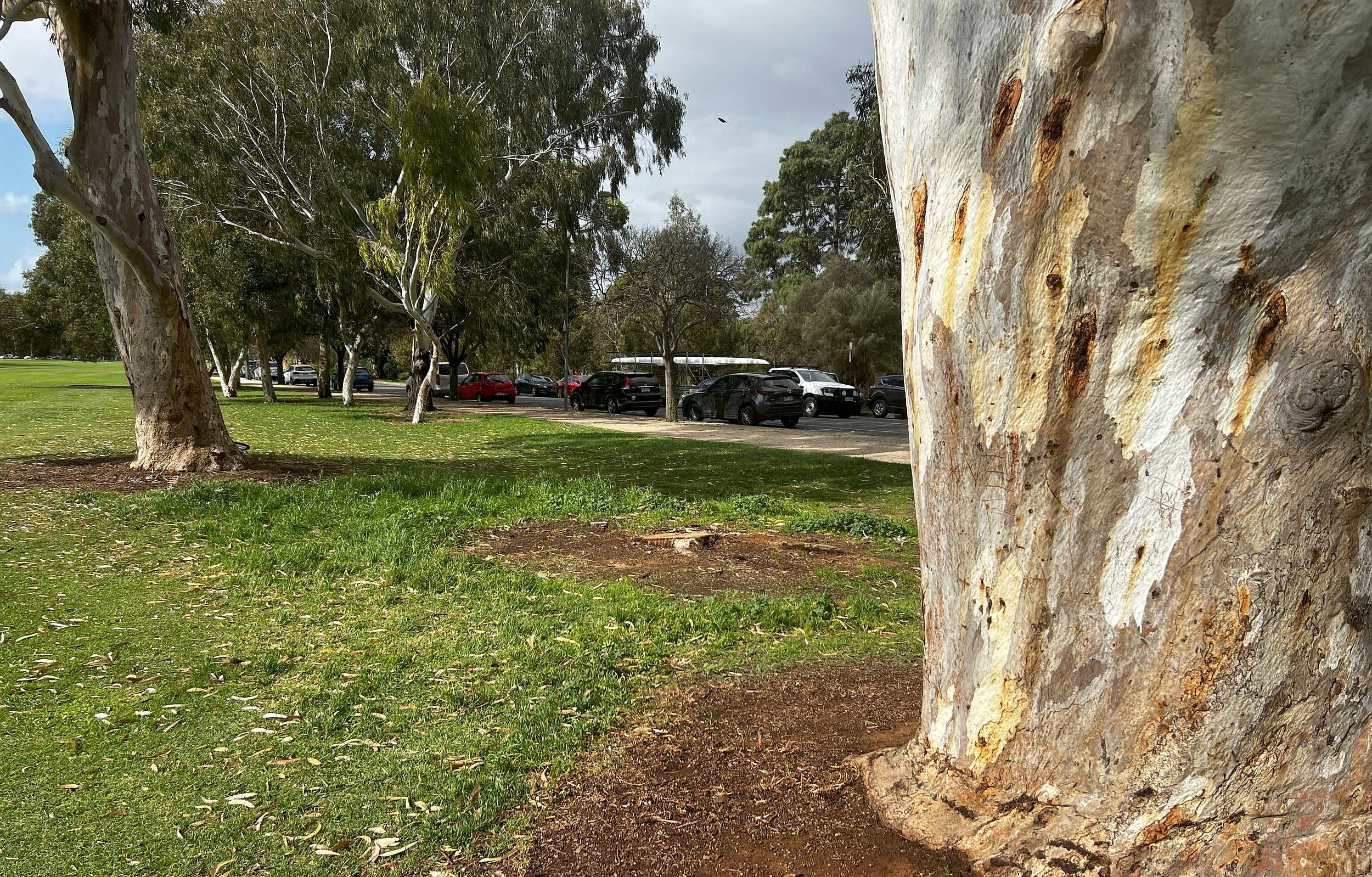
12. Tree tragedy
In-between these two River Red gums, you can see a stump in the ground. There was a third large river red gum here, but it has been removed.
Tragedy struck here, on 7 February 2024. An international student from Indonesia was the victim of a freak accident.
22-year-old Alifia Soeryo was sitting under the middle one of three large River Red gums, when it split at the base, and a section of the trunk fell on her.
The tree, about 20 metres high, was on the edge of this sports field. The fallen section was said to have weighed about 10 tonnes.

Photo: Dasha Havrilenko/The Advertiser. Inset: Alifia Soeryo (from Instagram)
SafeWork SA conducted an investigation, and provided a confidential report to the Coroner, but announced that there had been no “work-related factors” associated with the incident that breached work health and safety laws.
The City Council had carried out a tree inspection less than a year earlier, and did not find any structural integrity issues.

A Google StreetView photo, taken January 2023, showing what was, at the time, three River red gums off War Memorial Drive. It was the middle one, with two trunks, which split in half on 7 February 2024. The larger, wider trunk, leaning to the right, fell on Alifia Soeryo, who was sitting underneath. The parking pay station has also been removed.
Shortly after the tragedy, the remaining, thinner trunk was also removed, leaving only a stump, cut off at ground level.
A 2019 report from Arboriculture Australia found that the risk of being killed by a tree is 1 in five million. In contrast, the odds of dying while driving are 1 in 20-thousand.
From this point, walk across the playing fields to the University graduates clubrooms.

13. Graduates Clubrooms
The Adelaide University Graduates Club Rooms is a highly controversial part of the park.

It was originally a small tool shed built in 1923, but in 2014, history was put aside as it was demolished to create the University Graduates Club Rooms, at a cost of $3 million.
Construction was approved by the Adelaide City Council without consultation with the community, on the basis that it was merely an upgrade of an existing shed on the site. This created tension between the residents, the council and University, as this building is much larger than what was there before.
Although it is a two-storey building, the lower storey has been built partly underground so that it appears to be only one and a half storeys tall.

The building in Park 12 that was supposed to be demolished in return for permission to build the Graduates clubrooms in Park 10.
Back in 2013, when seeking permission for the Graduates clubrooms, the University promised that a 1930’s brick building in Park 12 (across Frome Road) would be demolished.
However the Council later agreed to let the Uni renege on the agreement and keep both buildings on your Park Lands.
From here, walk back eastwards along the Uni Running loop to return to the starting point of this Trail Guide on the corner of Jerningham Street and MacKinnon Parade.
Optional: download and print a tri-fold leaflet, i.e. a double-sided single A4 page, with a brief summary of this Trail Guide: (PDF, 3.2 Mb)
All of our Trail Guides and Guided Walks are on the traditional lands of the Kaurna people. The Adelaide Park Lands Association acknowledges and pays respect to the past, present and future traditional custodians and elders of these lands.

