

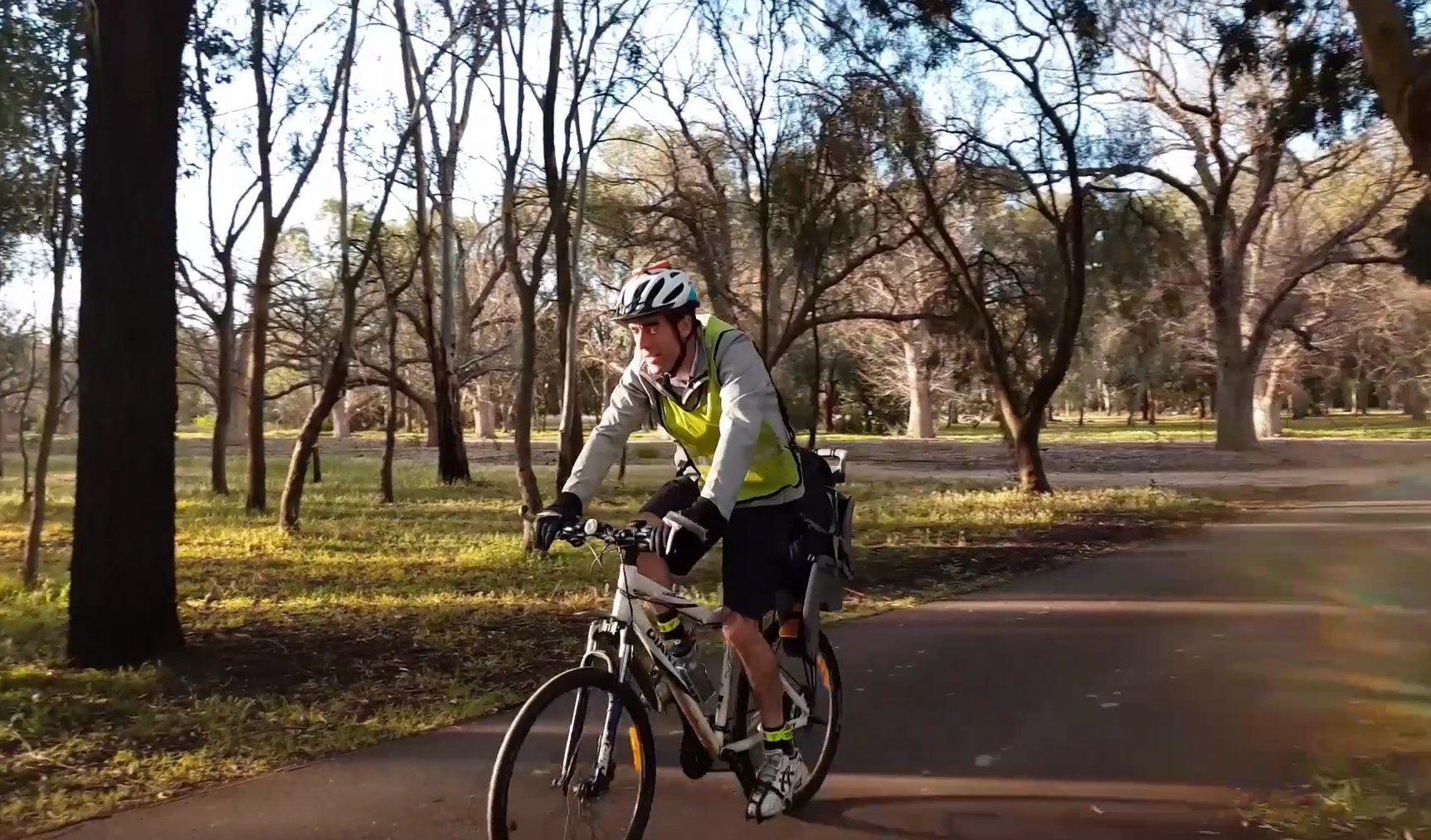
Take the Trail
Start opposite St Andrews Hospital, 350 South Terrace.
This Trail is on the traditional land of the Kaurna people. It’s about 2 kilometres and it will take about 90 minutes to complete.
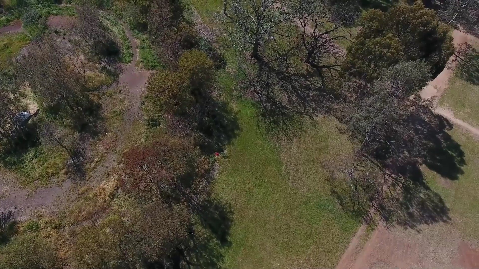
1. Bush for Life site
2. River red gums
3. Former reservoir and benchmark
4. South Terrace Croquet Club
5. Dog Obedience Club
6. The Carriageway
7. South Park Lands Creek
8. Touch football
9. Sporting fields
10. Glen Osmond Rd sugar gums
11. Croquet SA headquarters
12. Park Lands Trail, and tennis courts
13. Kaurna significance
14. Desert Ash avenue
15. Hutt Rd/South Tce corner

Start this trail opposite St Andrews Hospital at 350 South Terrace.
There are 15 stops on this Trail. It’s about 2 kilometres and it will take about 90 minutes to complete.
Walking instructions are designated by bold type at the end of each of the 15 stop descriptions.
Optional: download and print a tri-fold leaflet, i.e. a double-sided single A4 page, with a brief summary of this Trail Guide: (PDF, 3.5 Mb)

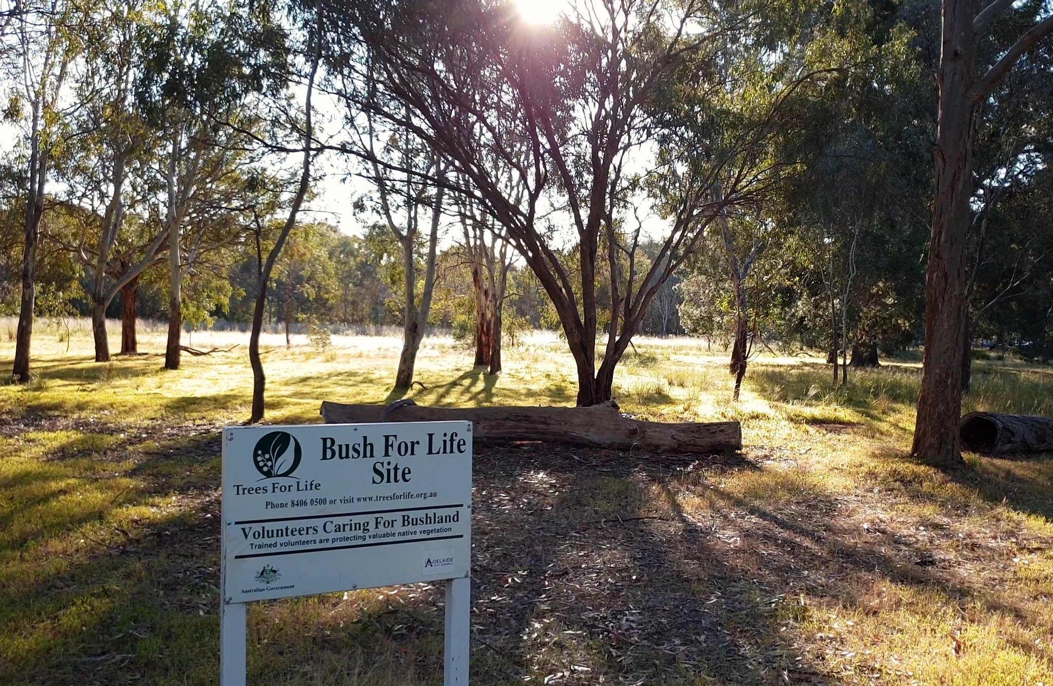
1. Bush for Life site
Carriageway Park consists of 31.6 hectares of land bounded by Greenhill Road, Hutt Road, South Terrace and Beaumont Drive. The shape and size of the Park has changed since it was surveyed by Colonel Light, to reflect road changes, from Hutt Road in 1917 and Beaumont Road in 1963.
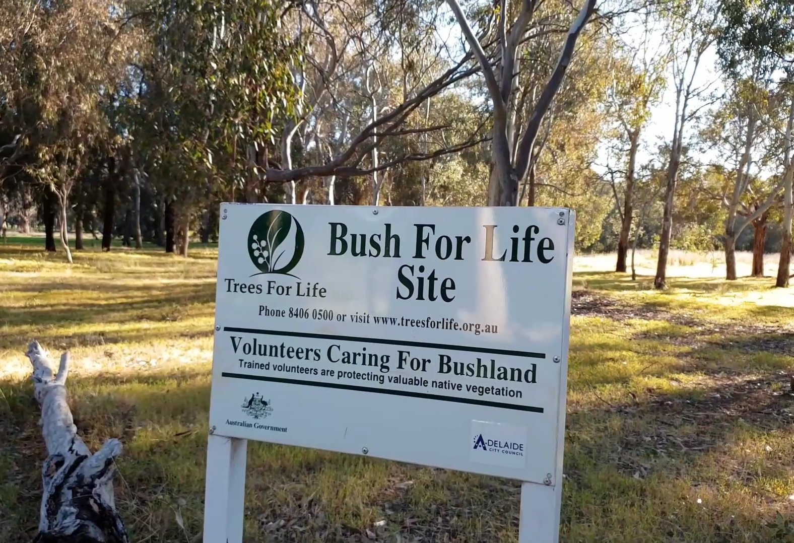
Here, opposite the entry to St Andrews Hospital you will see one of two signs stating that this area is a Trees for Life Bush Care site.
The unique remnant bushland contains many indigenous species that have been reintroduced to the area by a dedicated group of volunteers. In a biodiversity survey of the Adelaide Park Lands in 2003, Melanie Long noted that the “the site is an excellent example of species that would have represented the ‘Black Forest’ that once encompassed the area”.
There are two other 'Bush for Life’ sites within the Adelaide Park Lands. One is in Park 6. The other is in Golden Wattle Park (Park 21W).
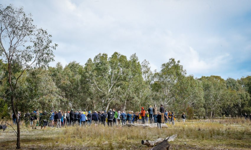
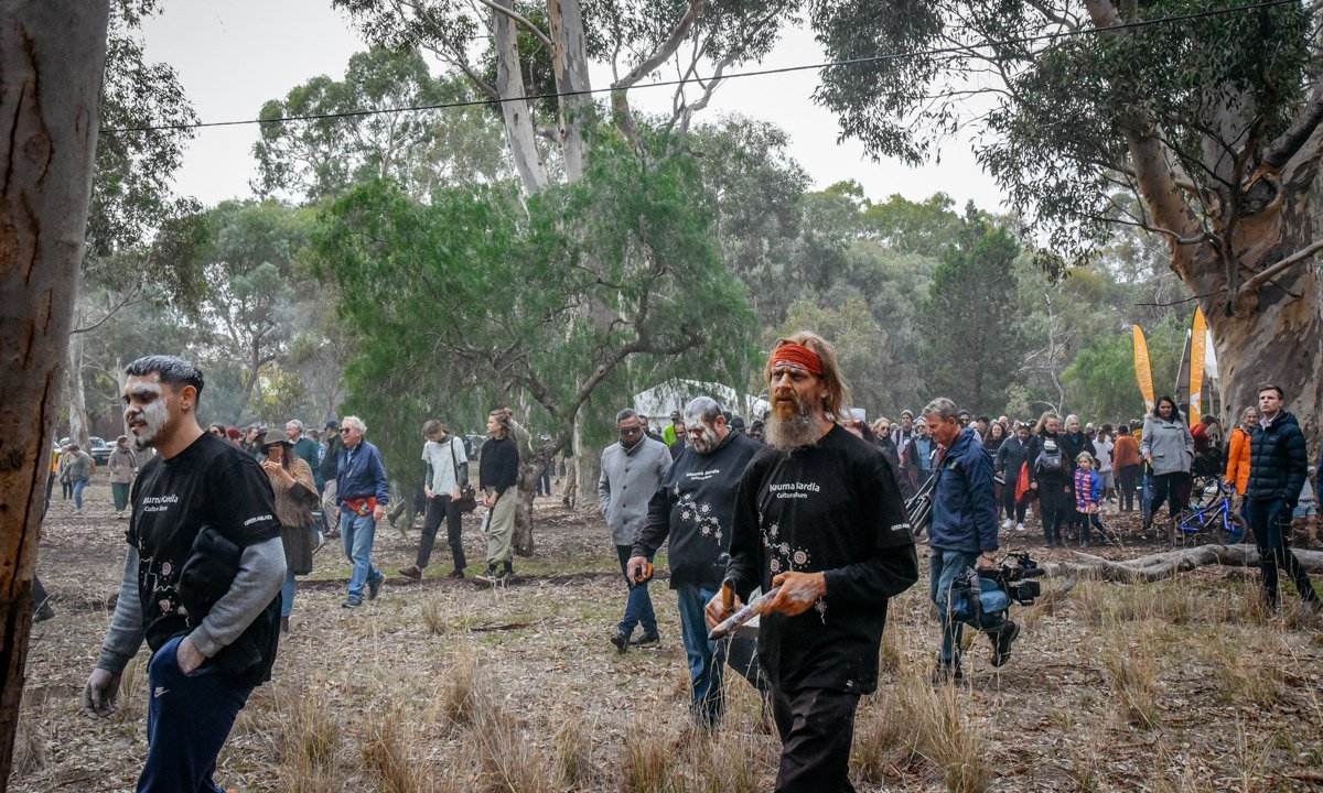
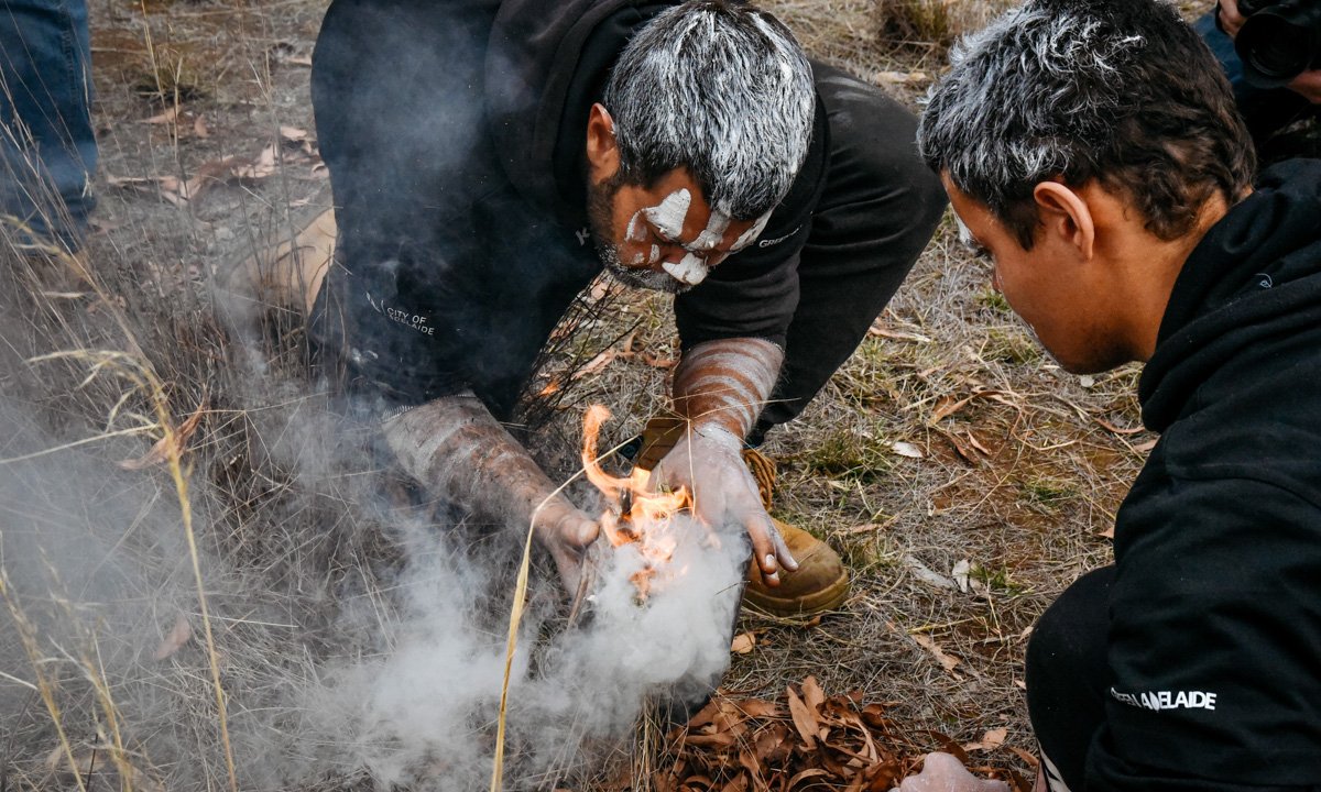
In May 2021, this area was the site of the first Kaurna cultural burn in an Australian capital city and the first on Kaurna land in 200 years. The burning ceremony here was led by the Kaurna community and supported by the City of Adelaide, Green Adelaide, and the National Parks and Wildlife Service SA.
It created an opportunity for traditional owners to camp on the land, light a campfire and open up conversations.
Cultural burning is different to western prescribed burning (to reduce bushfire risk) in that smaller, cooler and slower burning fires are used to manage the landscape.
Images: Jack Fenby for InDaily
Six months after the cultural burn, there was re-growth of not just the grasses but also some species that apparently had been dormant in the environment for many years.
The City Council’s senior biodiversity officer Chris Butcher reported a species of fungus, a mushroom that shot up after the fire, as well as new patches of green grasses.
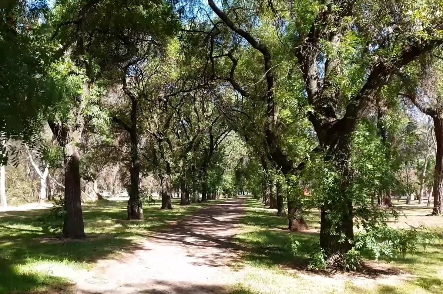
In 2022, the City Council constructed a bitumen cycling and pedestrian path here, adjacent to South Terrace. It complements other shared-use paths throughout the Park Lands.
Some concerns have been expressed about what the hard surface might do to the roots of the river red gum trees here, and also about the potential for collisions between cyclists and pedestrians. Those sort of issues are common to almost every place where there is shared-use path, in the Park Lands, and elsewhere.
Walk eastwards along this path towards the corner of East Terrace, stop at the corner, and look back at the line of river red gum trees.

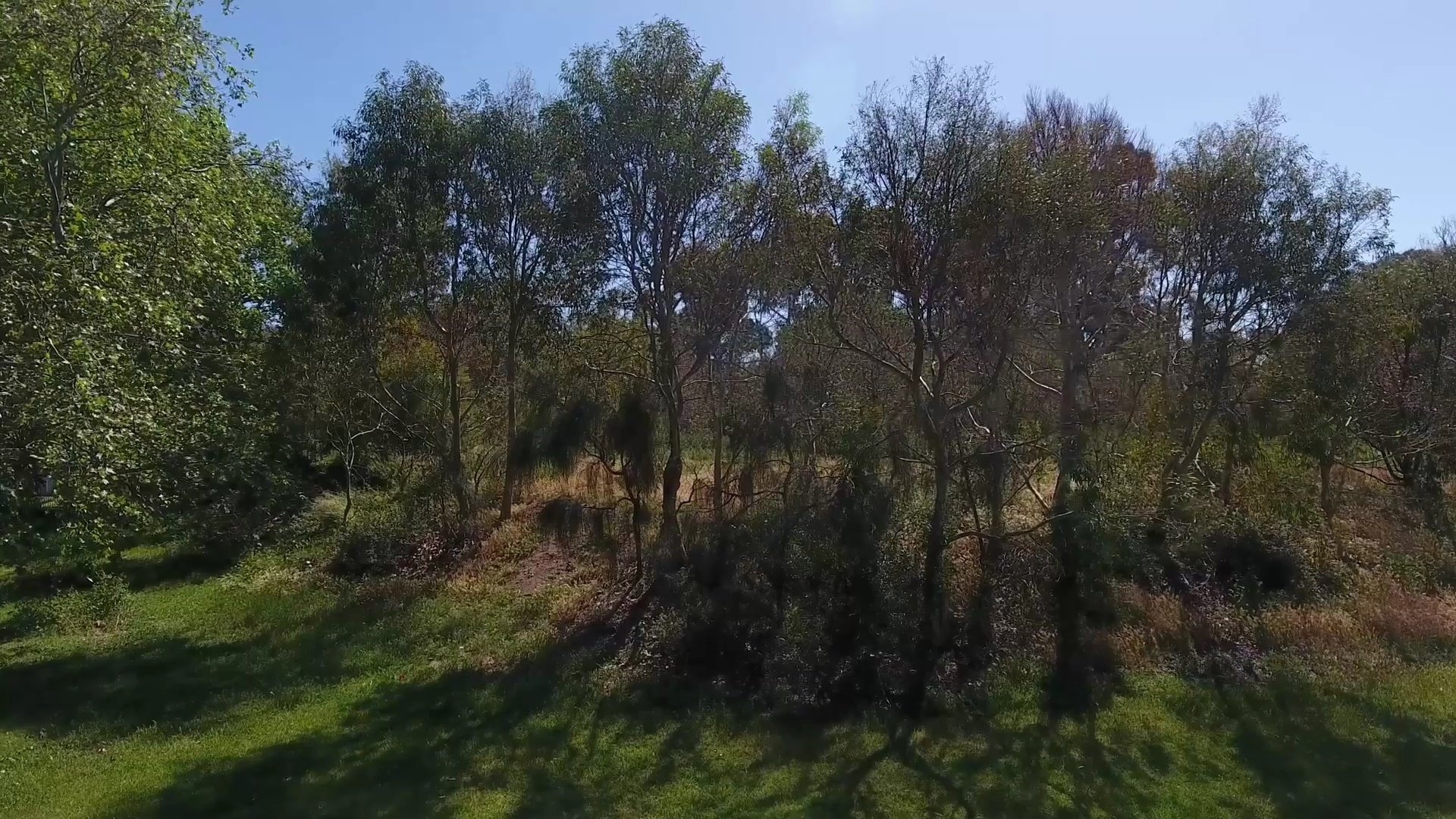
2. River red gums
.
As you were walking along the path, you would have passed alongside a line of mature river red gum trees. In hotter months these trees lose their bark to expose stunning white trunks.
Like so much of the Adelaide Park Lands, this Park was cleared of most native vegetation in the first 20 or 30 years after European settlement from 1837. By 1860, with the land almost denuded of trees, the area was fenced in white-painted timber post and wire, and the land was used for grazing sheep and cattle.
A survey in 2007 found there were five trees within this Park that pre-dated European settlement. However more recent investigation has cast doubt on that claim. City of Adelaide staff have not been able to positively identify any trees in this Park that are older than 1837. Nevertheless, as you walk around this Park today, look for the largest trees, somewhere near the centre of the Park and you can be sure that they are much more than 100 years old.

After the park was fenced in 1860, agistment of livestock here continued for almost 90 years. It ceased in the middle of the 20th century, around 1950.

Part of an 1876 sketch, published in the Sydney Illustrated News, showing re-planting around the edges of Park 17, with a small number of trees remaining in the centre of Park 17,
About 20 years after the sheep and cattle were introduced, the first revegetation efforts began. From about 1880, a Scottish forestry expert, John Ednie Brown was brought to Adelaide to advise on re-planting the Park Lands. He thought that the land here was “of an excellent character for ornamental planting”.
Mr Brown commenced a focussed planting program which continued (in fits and starts) from the 1880's up to the 1920's, first under John Brown and later under the head gardener August Pelzer.

John Ednie Brown’s 1880 plan for re-vegetating Park 17, including the curved Carriageway from the SE to the NW of the Park.
From this point, turn right, and walk into the Park along the bitumen track, just a short distance, to a large earth mound on your left.

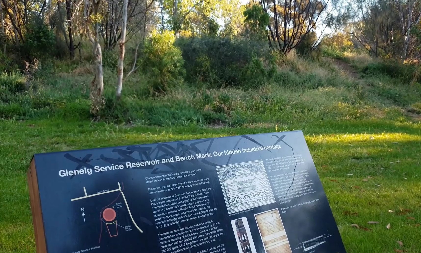
3. Former reservoir and benchmark

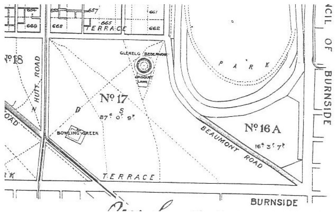
A 1917 map showing the position of the reservoir in Park 17
This mound, covered in earth and trees is a former reservoir built in 1881 to supply water to both Adelaide and Glenelg. Capable of holding 4.5 megalitres, (about two Olympic-size swimming pools) it was circular with brick walls, a concrete floor and a concrete roof supported by 58 iron columns standing on brick bases.
The roof was then covered in soil and planted with grass. Two-thirds of the tank was below ground level. By 1946 the tank had been unused for some time and it was determined to remove it and most of its fittings. These works took until 1982 to be achieved and the tank has largely been filled with soil.
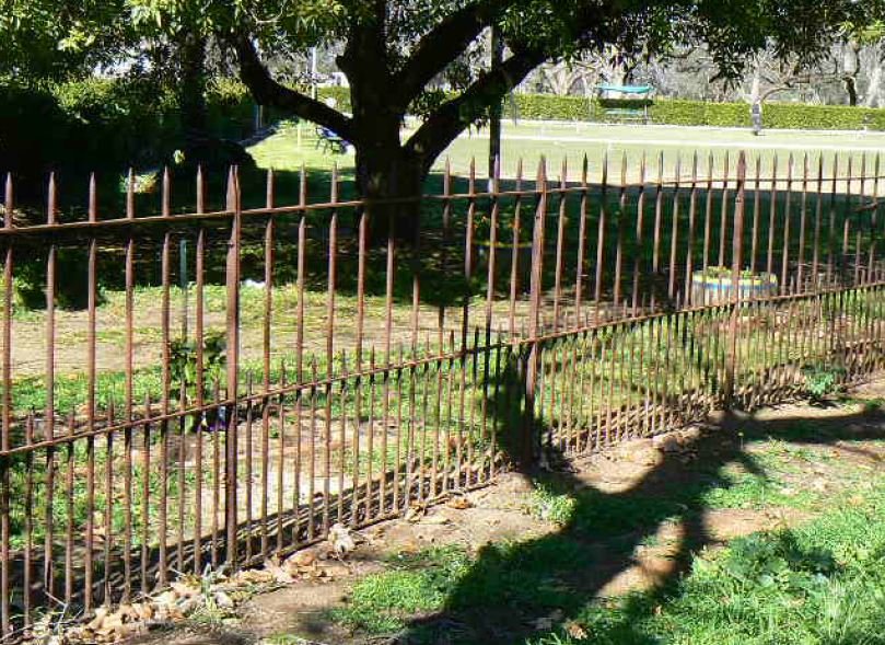
The reservoir was enclosed by a fence to keep out the cattle which grazed in the Park Lands at the time. On the southern side of the reservoir, forming the northern enclosure of the South Terrace Croquet Club, you can still find remnants of the original wrought iron open picket fencing.
Located in an incomplete ring on the south side of the former reservoir is a collection of London Plane Trees, that were planted in the 1940s. Several of these specimens have since been re- located resulting in the ground depressions. There were only two London Plane tree rings in South Australia. The other one, being relatively intact and healthy, is in the Adelaide Botanic Garden.

The London Plane tree ring, photographed in 2007. Few of them remain. Pic: David Jones
Walk around the old reservoir site, back towards South Terrace and look for a cast iron post with a pyramid-shaped top. There should be a white post near it.

Most of the cast-iron post is buried underground

This is what the rest of the benchmark, buried underground, would look like.
This is a “bench mark”. To make sure water and sewer pipes were installed at the correct depth, more than 30 cast iron bench marks were installed at key locations around the city in 1879. These marks were usually placed with heads above the natural surface. The benchmark’s head has four facets sloping gradually to form a pyramidal top.
One facet is embossed with its bench mark number 10 (number 1 was at Port Adelaide), on another was the monarch’s crest with the initials VR, meaning Victoria Regina (since removed). The third facet is blank. The remaining facet has a plate affixed, which states its height “170 feet (52m) above LW at Pt A” above Low Water at Port Adelaide. This is only one of two known benchmarks in the Park Lands.
Adjacent to the reservoir, the then Mayor Isaac Isaacs opened a Wattle Day planting ceremony here in 1916. The plantings were part of a larger Wattle Day planting event that had been inaugurated in 1915 in the ‘Wattle Grove’ memorial plantation in Park 21W off Lewis Cohen Drive.
There is no evidence of either of these plantings today.
From this point, walk further along the bitumen path, until you come to a hedge around croquet lawns. and three giant sugar gum trees outside the hedge.

4. South Terrace Croquet Club
On your left, next to three giant sugar gum trees is the historic South Terrace Croquet Club. It was established in 1911, this idyllic club has two croquet courts and a clubhouse, and is surrounded by an historic kei apple (formerly known as kaffir-apple) hedge and a cluster of tall sugar gum trees.
Planted in 1913, the hedge is perhaps the most intact of these hedges that were planted in the early 1900’s by former City Gardener, August Pelzer. He put numerous hedges of this type around Adelaide’s playgrounds, council depots and smaller gardens. The hedge includes some original fence posts and wire from before the hedge grew to maturity. Kei apples are yellow fruits about the size of large apricots. They are edible but rather bitter.
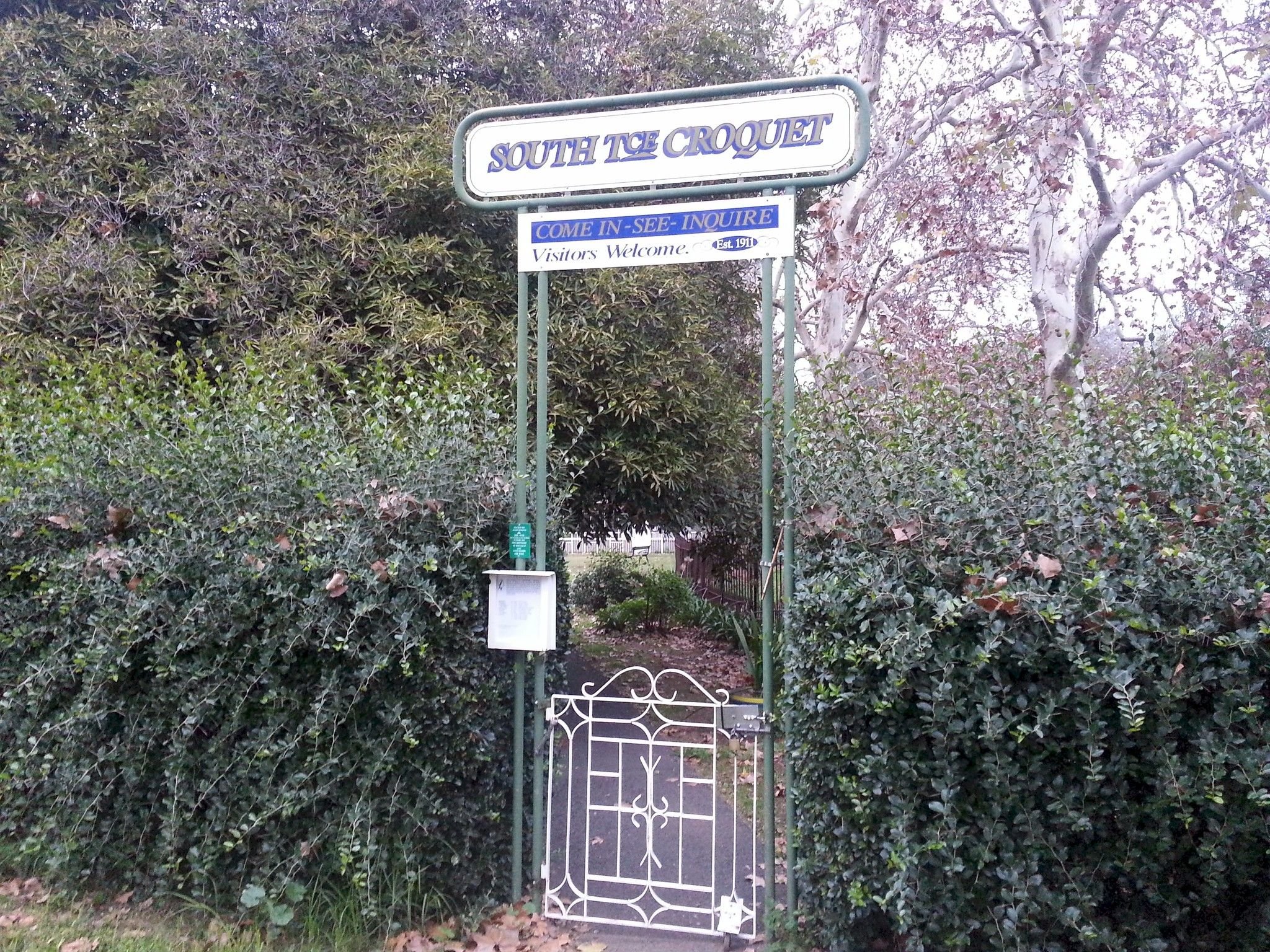
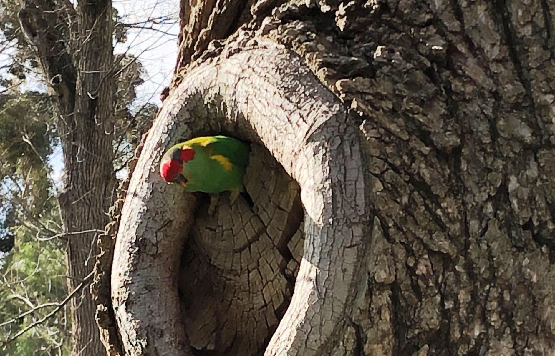
The club emblem is the Adelaide Rosella and you will see many of these beautiful birds in the immediate vicinity. In fact, Park 17 is a thriving hub for many bird species including a variety of colourful parrots, galahs, corellas, wattle birds and magpies.
This is one of two croquet grounds in Park 17. This Trail Guide passes the other grounds a bit later.
From this point, walk in-between the underground reservoir and the croquet grounds and walk across the lawns to a cream-brick building.

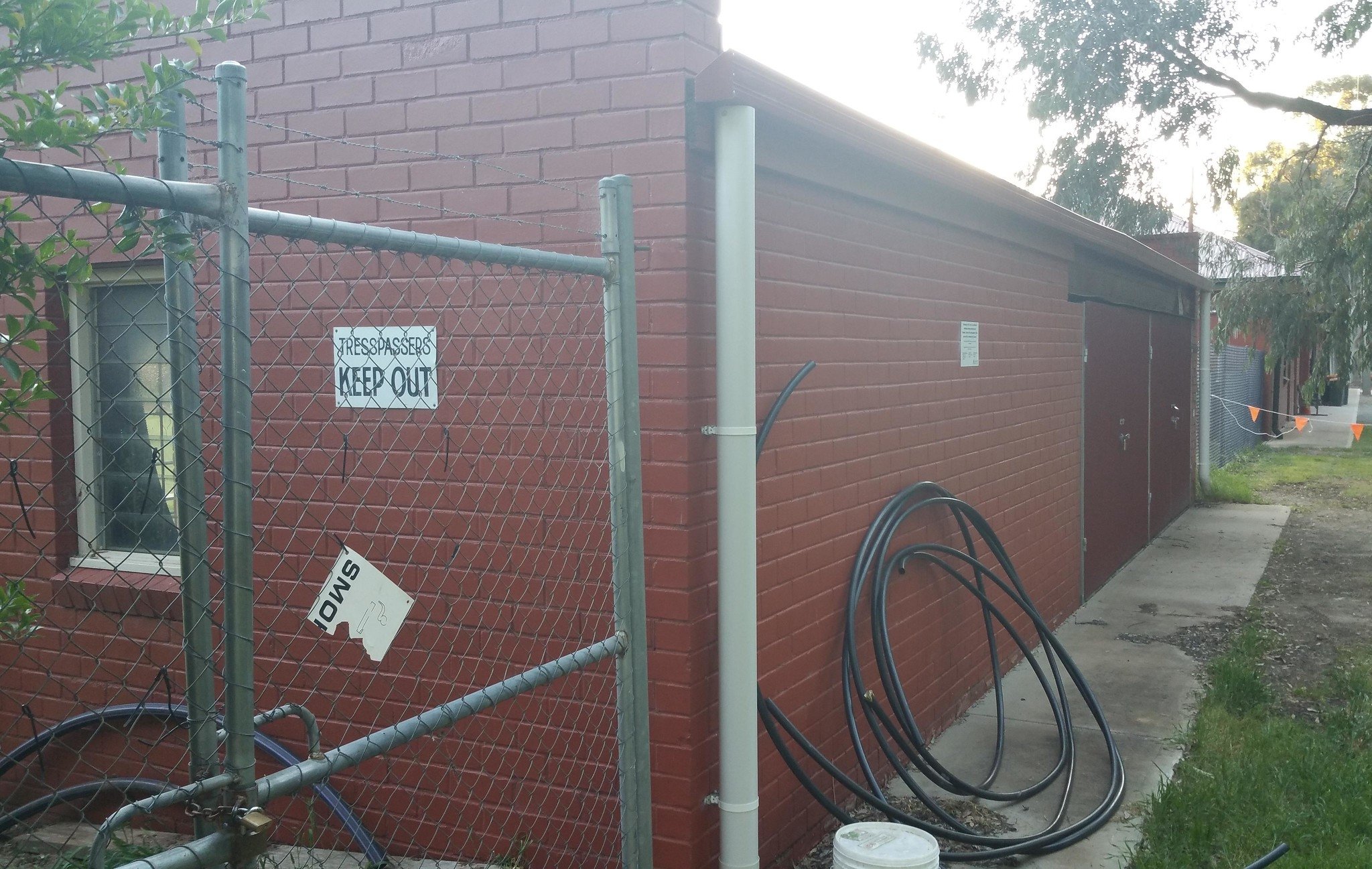
5. Dog Obedience Club
This pavilion is the home of the South Australian Dog Obedience Club. The cream brick structure was erected in the early 1960s, serving as a clubhouse to the Club that was originally established in 1955, initially located in the East Park Lands.
Lady Esther Jacobs, councillor and president of the Park Lands Committee, initiated the venture, although she confessed to being frightened of dogs.
Figures from the 1960's indicate that in those days a typical Sunday afternoon dog obedience session would attract more than 200 people and about 180 dogs.
The club at the time had more than 900 human members and nearly 300 canine ones.
These days, it's not quite so popular but still well used. Training occurs every Tuesday morning and evening with full-year memberships available.
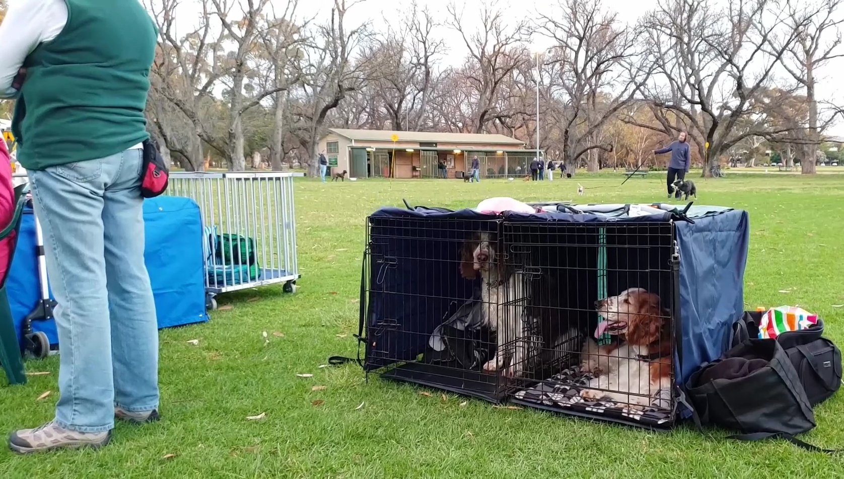
We've posted some video clips of dog obedience classes in our Park 17 video which you can see on our website.
From this point, walk a few metres further south, until you see a row of very old English elm trees.

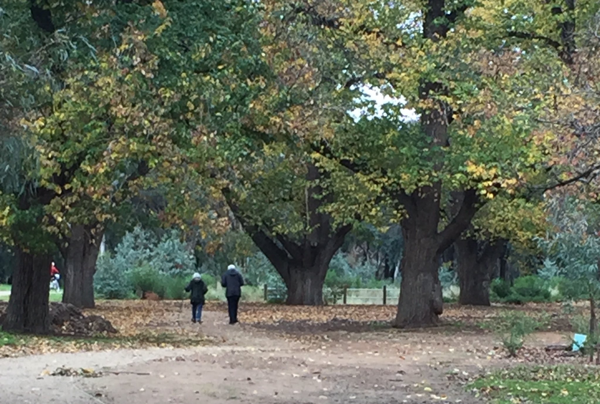
6. The Carriageway
This Park has been known as Park 17 since at least 1895. Its two names – 'Carriageway Park' and 'Tuthangga' are much more recent. The Kaurna name Tuthangga was assigned by the City Council in 2002. Tuthangga is the Kaurna word for grass place. The Park was so named because of the continuing presence of remnant native grasses. The name draws from tutta meaning ‘grass; hay’ and –ngga meaning ‘location’.
Carriageway Park refers to a carriageway of historic elm trees that you can see here. This 'carriage-drive' is a gentle arc through the Park from Beaumont Road on your right almost to Hutt Street.
It is probable that this avenue was planted by City Gardener William O’Brien in the late 1870s. It was apparently called “The Carriageway” at one stage during August Pelzer’s time as City Gardener, and now forms a wide corridor with glimpses of the Adelaide Hills escarpment. The avenue comprises about 90 mature English Elm trees, many of which suffered during recent droughts but are now benefiting from irrigation. The unique avenue is particularly beautiful in autumn as the leaves of the elms change colour and fall to the ground.
The Carriageway also led to the inaugural Australian site for Arbor Day, which took part in the adjacent Victoria Park. This initiative originated in Nebraska in 1872, with the first event in Adelaide being held in 1887. Governor and Lady Kintore attended, together with about 5,000 school children. Arbor Day was the forerunner to tree planting days and instrumental in raising an awareness of the importance of trees in the environment.
The name 'Carriageway Park’ was officially given to this Park only relatively recently – in September 2017.
There will be another view of the Carriageway from the north-west end of it, later on this Trail Guide.
From here, walk southwards a little further and look for the place where a creek goes underground. You can walk over the top of the creek at this point.

7. South Park Lands Creek
The South Park Lands Creek, which is underground at this point, is not natural but an artificial drainage channel that was built more than a century ago.
In 2016, the City Council realised that the artificial creek was badly eroded and design design improvements were urgently needed.

The steep eroded banks of the South Park Lands Creek before the widening and landscaping that was undertaken in 2018-19.
In 2017 the Council embarked on a five-year program of work needed to restore the condition of the creek to:
improve its safety,
increase its biodiversity and
assist with reducing the impact of flooding in the South Park Lands.
Construction work on this area of the creek took place in 2018 and 2019. Sections of the creek in other nearby Parks are still to be completed.
Another part of the works was the estabishment of a wetlands area in the adjacent Victoria Park. That wetland was opened on 6 May 2022.
Work is continuing on the South Park Lands Creek further downstream in Park 20, where it splits into two channels near the Tree Climb facility.
The creek widening carried out here in 2018 included weirs, grassed swales, amphitheatres, signage, drinking fountains, and seating.
There are seven very old River Red Gum trees along the watercourse in Park 17. The area also has splendid little clusters of Austrostipa and Chloris grass species. A few plants of Jersey Cudweed have also been found along this creek.
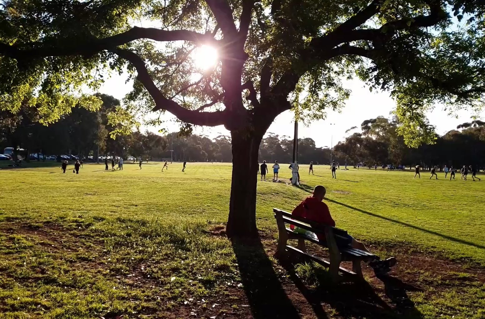
From this point, walk south to the middle of the open playing fields, and look across to a dark brick building near the corner of Beaumont Road and Greenhill Road.

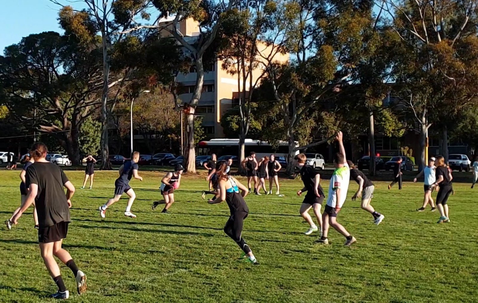
8. Touch football
In the south-east corner of the Park you can see the modest sporting clubroom building, which is home to Touch Football SA. This area was a source of controversy after the City Council in 2017 proposed a new hockey stadium with concrete walls to be built here.
However, public consultation found the proposal was “not compatible with the existing form and function” of Park 17 as the facilities would have excluded park users from the area.
Most concerning for Touch Football SA was that the development would have left the sport without a home. About 10,000 social, school, masters and representative players have used these grounds to play touch football since the late 1990’s.
Plans for a hockey stadium have not been shelved, but the proposed site has changed, to a different part of the Park Lands.
Soon after the hockey proposal for this Park was knocked back, the Burnside Hockey Club and Adelaide Hockey Clubs came up with a similar proposal, to build a small stadium with new synthetic pitches in Park 22, near the netball courts between Anzac Highway and Goodwood Rd. However that development is stalled because the Hockey clubs have not yet secured funding.
After the 2017 public consultation process, the City Council reported that the key findings from the public about this Park, were:
A high value was placed on the openness of this park, particularly the southern sports fields area, with the built form placed to the sides of the park;
People generally felt that this park had a good balance between formal sporting activity and being able to use the area for informal recreation, with limited restricted access when the park wasn’t being formally used;
People acknowledged that facilities could be improved, including the location/distribution of public toilets, and
most of the existing sports facilities were well used in winter and summer but were held back by limited areas with lighting.
From this point, walk westwards across the playing fields until you can see another small shed near Greenhill Road.

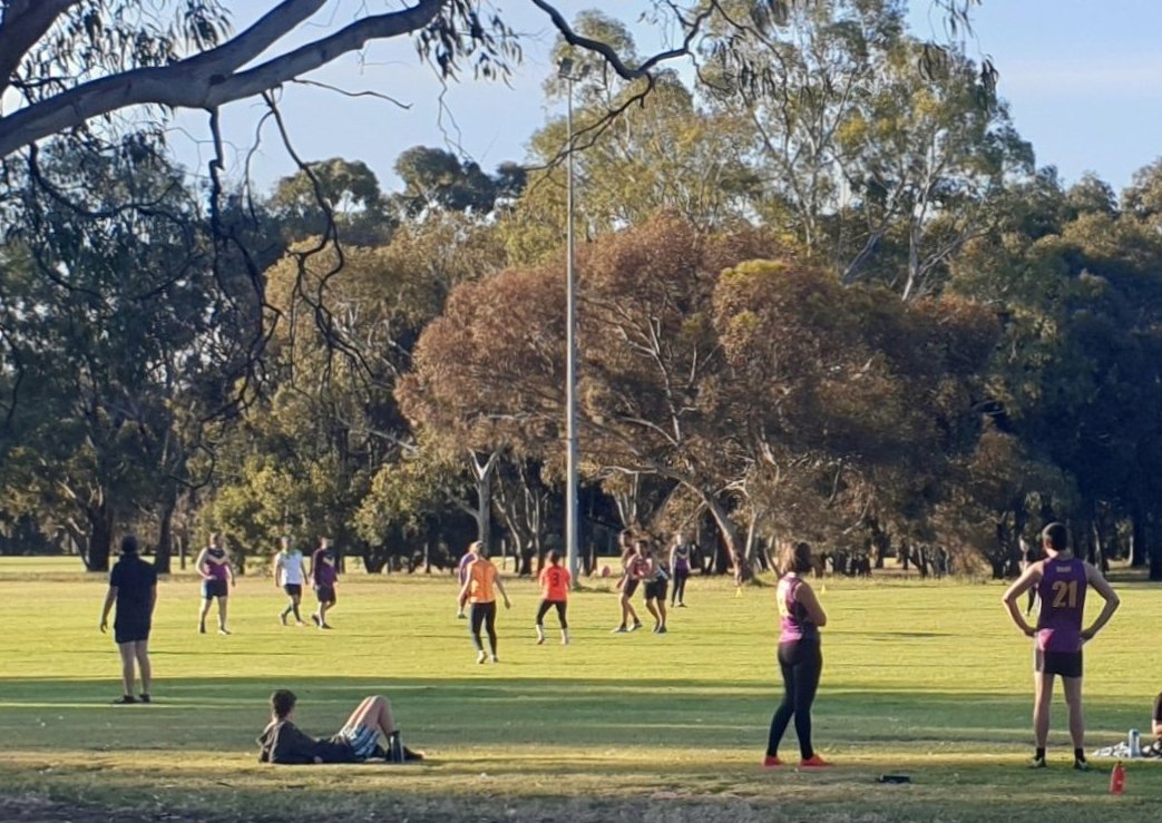
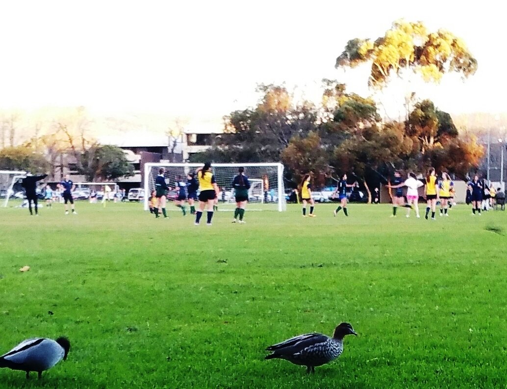
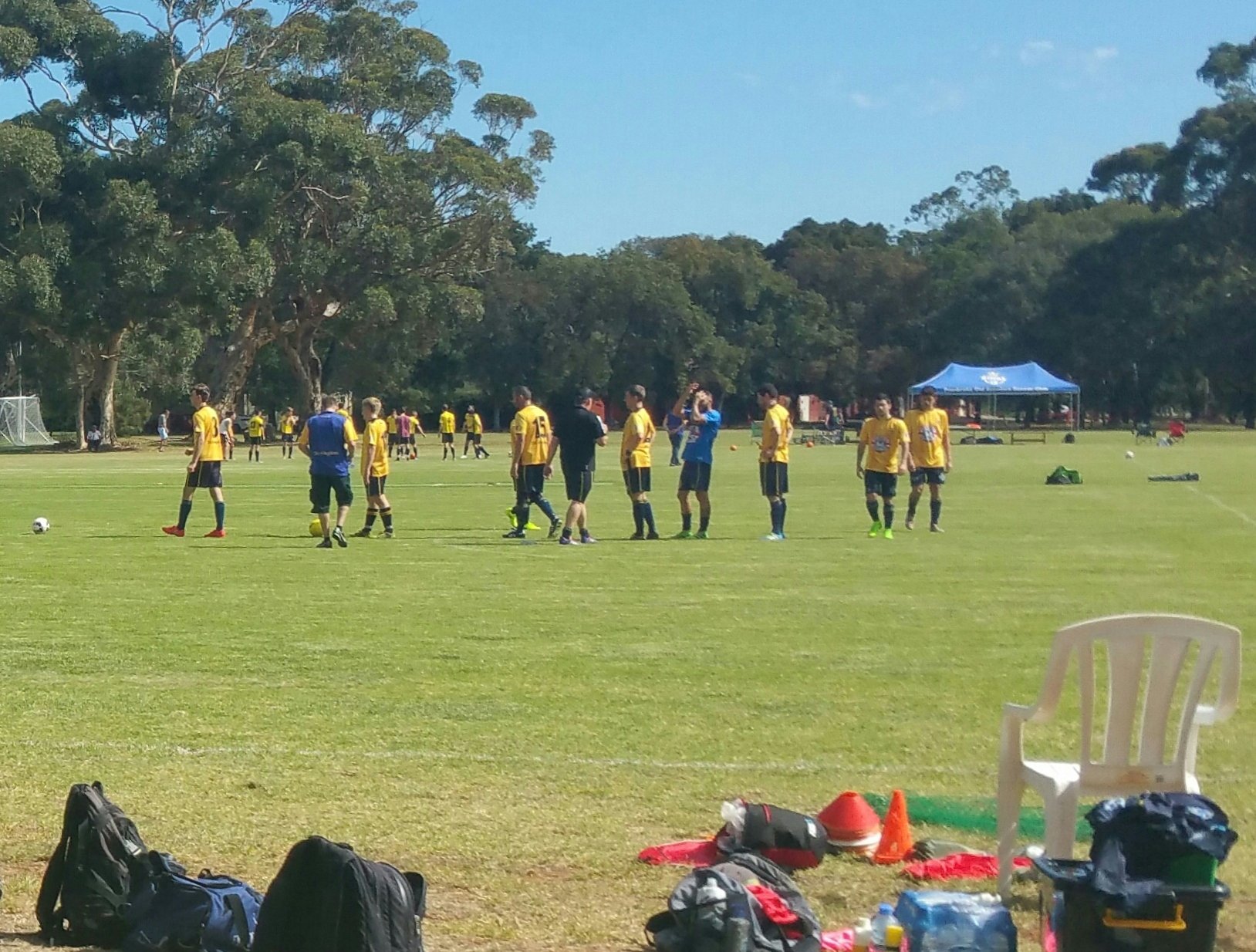
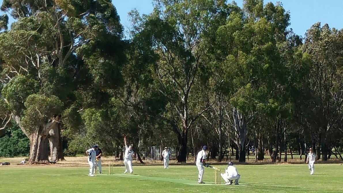
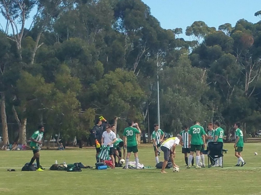
9. Sporting fields
These large sporting fields are used for a variety of sports including cricket, soccer and touch football.
They are licensed by the City Council to Pembroke School at Kensington Park. The “licensing” arrangement means that the fields are available to the public whenever Pembroke is not using them for organised sport. As already mentioned, Touch Football is played here, as the Touch Football Association has a sub-licensing arrangement with Pembroke School.
On the image above you can see four zones identified in different colours, as being licensed for sports in this Park.
The area marked as ‘Zone 3’ – outlined in yellow – consists of one sports building which is near Greenhill Road, four cricket fields, which are also used for other sporting codes such as soccer and rugby. There are two cricket practice nets behind the building. The area is complete with irrigation (new system installed in 2019 to the north west pitch) and limited sports lighting.
The area marked as ‘Zone 4’ – outlined in red – is also leased and licenced to Pembroke School. This area consists of the Touch Football sports building (which includes a store for maintenance vehicles and equipment) which is near Greenhill Road and Beaumont Road, five (5) playing fields that are currently used for Touch Football. The area is complete with irrigation and sports lighting.
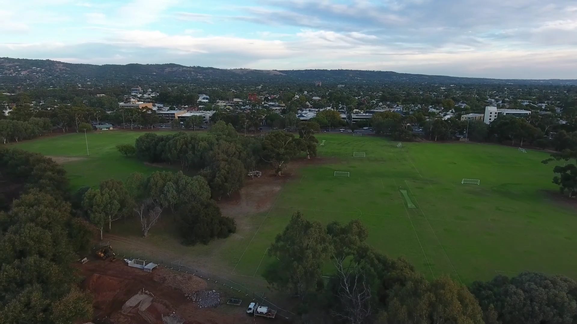
The other small building is a public toilet. It’s built with red clinker bricks and Carey Gully sandstone, which has been rendered. This toilet block was designed and erected in the 1980s and is an important convenience for the park’s thousands of sporting participants.
Over on the edge of Greenhill Road, you can see a single unusual-looking pine tree with a domed canopy. This is a Stone Pine. There are only a handful of them in the Adelaide Park Lands, and this is the only Stone Pine in Park 17.
From this point, walk westwards towards Glen Osmond Road and stop underneath the largest gum trees you can see there.
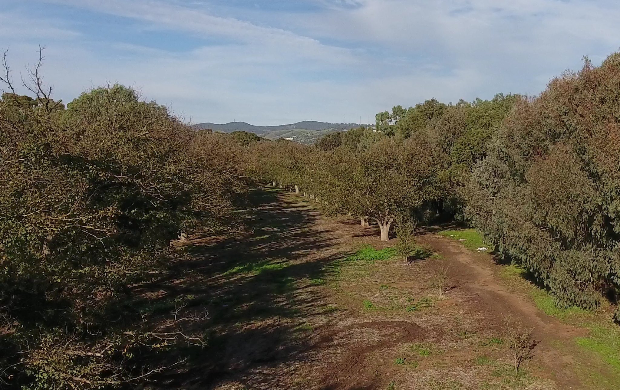
10. Glen Osmond Rd sugar gums
There are more than a hundred mature sugar gum trees (eucalyptus cladocalyx) flanking Glen Osmond Road on both sides. They were planted between 1913 and 1915.
They replaced an earlier plantation of eucalyptus trees from 1876 that didn’t thrive here.
Some of the larger specimens are highlighted by spot-lights at night, making an impressive sight for anyone driving into or out of Adelaide along Glen Osmond Road.
Park 17 includes the triangle of land on the other side of Glen Osmond Road.

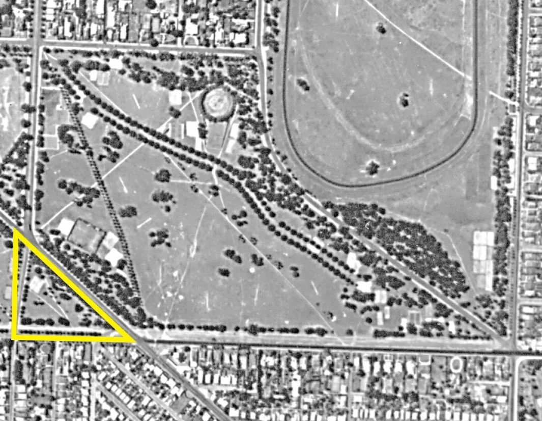
1936 aerial photo of Park 17, highlighting the area on the western side of Glen Osmond Road.
In the late 1800s, before Hutt Road was built through the South Park Lands, that area would have been part of the adjacent Park 19.
Hutt Road was built in 1917 to connect Hutt Street with George St Parkside. At that stage, the triangle of land was severed from Park 19 and made into an orphan.
It’s not part of the main area of Park 19 and it’s not part of the main area of Park 17 either. At some stage in the 20th century it was labelled as Park 17A, but now it’s just a lonely part of Park 17.
This Trail Guide does not go over Glen Osmond Road into it.
From this point walk around the hedge and fences until you can see another sports building.

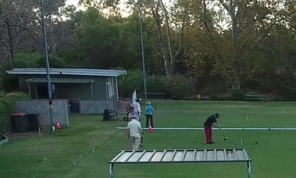
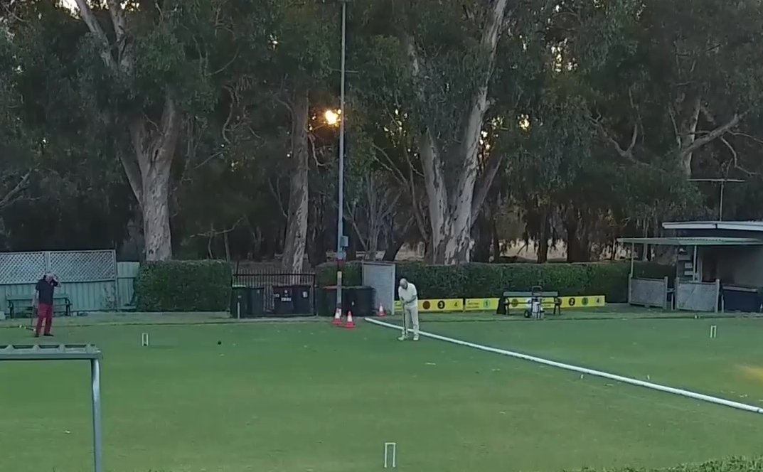
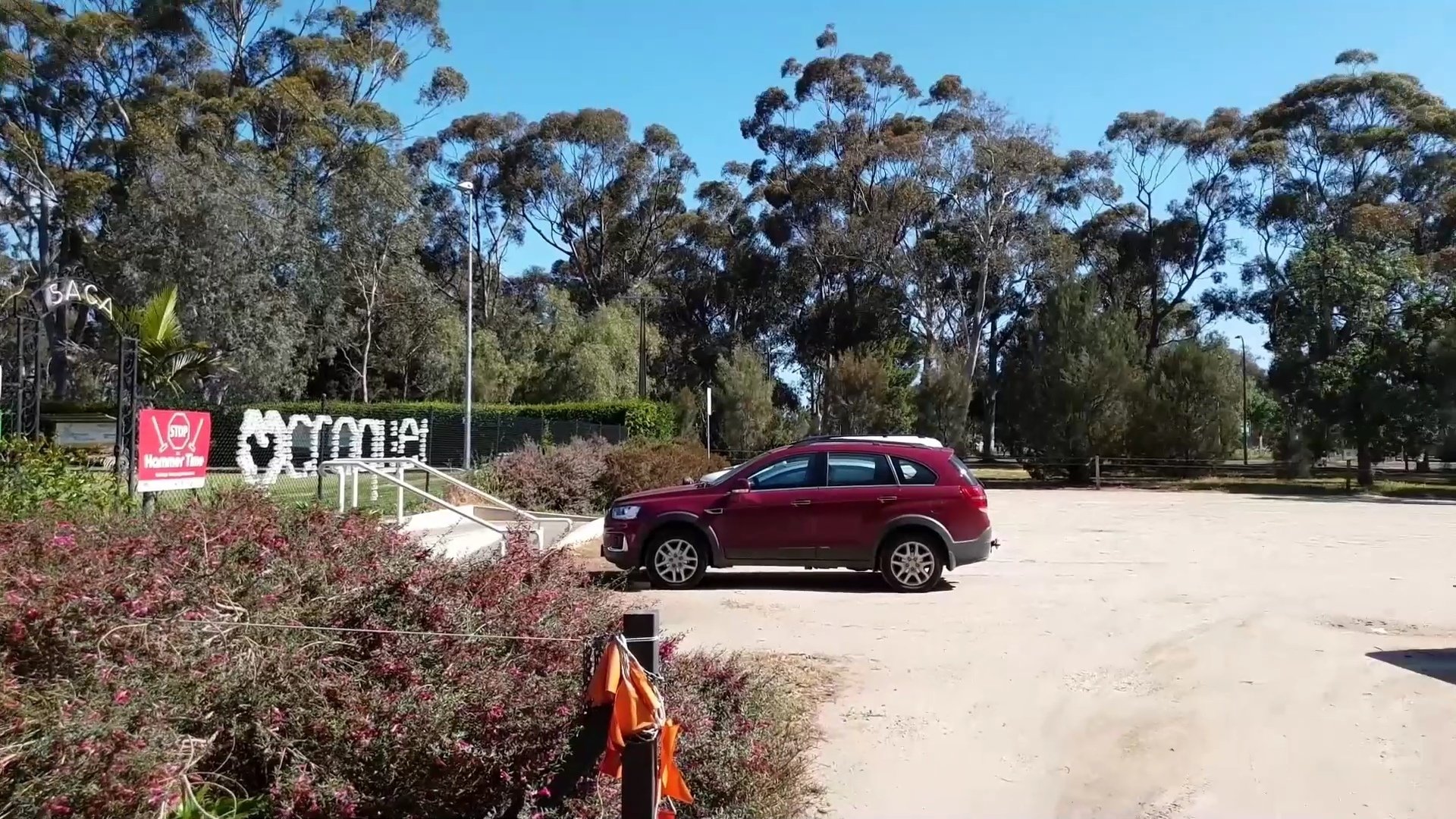
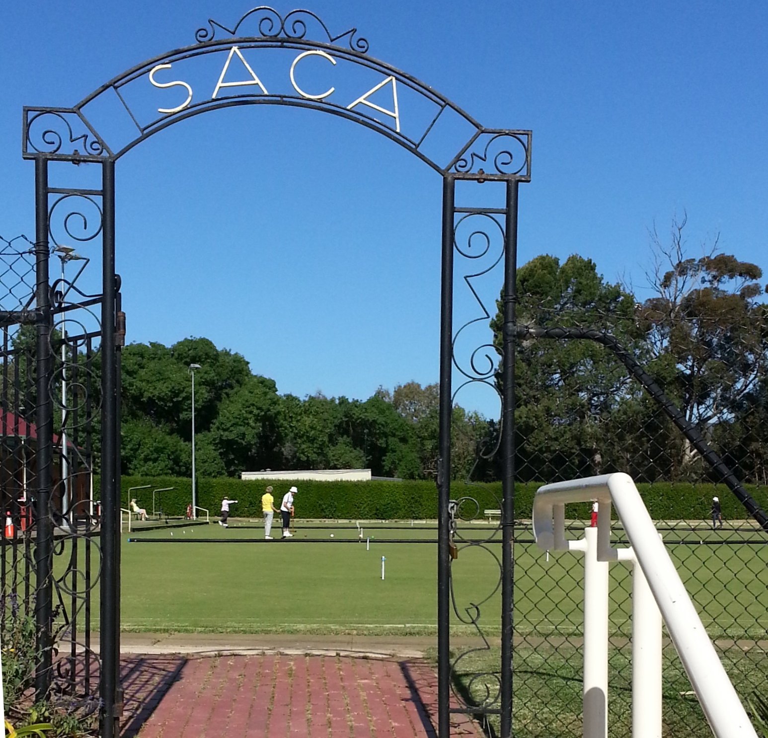
11. Croquet SA headquarters
.
(Photo above from the Croquet SA Facebook page)
This building, near the corner of Hutt Street and Glen Osmond Road, is the Croquet SA Headquarters and clubrooms.
The compound includes a clubhouse, storage facilities for the lawn maintenance equipment, and three international-standard floodlit croquet playing lawns.
The Australian Croquet Championships were held here in March 2018. Note the craftsmanship of the wrought-iron entrance gate that provides the pedestrian entry to the croquet grounds from the large car park.
Walk northwards, from the croquet headquarters until you come to a bitumen path, where you can also see some fenced tennis courts.

12. Park Lands Trail and tennis courts
This bitumen path is one small part of the Park Lands Trail; a series of connected walking and cycling trails which loop both the city of Adelaide and North Adelaide. It connects with Park 16 (Victoria Park) to the east, and with Park 18 (Peppermint Park) to the west.
Inside this Park 17, the Park Lands trail goes diagonally through the Park from the corner of East and South Terraces (where you saw the 1880’s underground water tank) through to Hutt Road here, near the tennis and soccer courts.
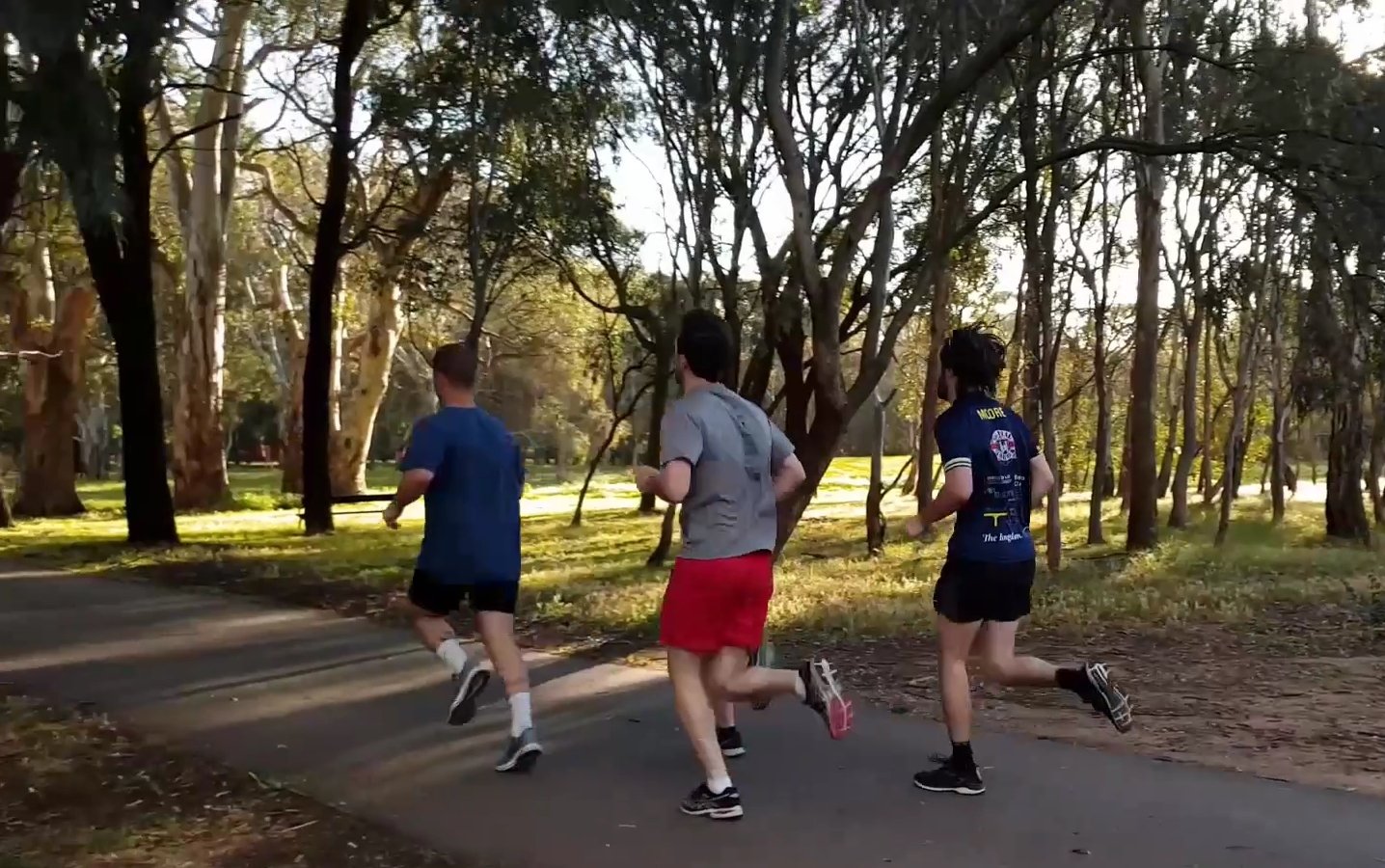

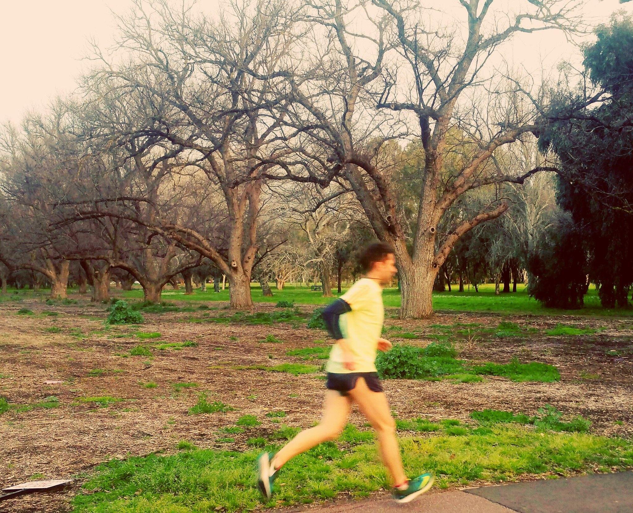
The trail is used by thousands of regular cyclists, walkers and runners.
From this point, cross over the bitumen Park Lands Trail to look at the fenced tennis courts.
These courts are not just for tennis. They can also be used for synthetic-surface soccer, and you can see the soccer goals installed here.

The tennis courts alongside the Park Lands Trail, off Hutt Road in Park 17.
These courts are leased by the Christian Brothers College but are available for community use during daylight hours when not used by the school. Community bookings can be made through CBC.
From this point, walk eastwards along the Park Lands trail until you come to a path intersection, or crossroads, and look for a wooden bridge across the South Park Lands Creek.

13. Kaurna significance
As we mentioned at the start of this Trail Guide, Carriageway Park / Tuthangga (Park 17) was the site of the first Kaurna cultural burn in an Australian capital city and the first on Kaurna land in 200 years.
We have stopped at this bridge to point out that it is a relatively new one. An old wooden bridge here was replaced in 2021.

The former wooden bridge (left) and the newer metal-railed bridge installed in 2021 across the South Park Lands Creek, on the Desert Ash avenue through Carriageway Park / Tuthangga (Park 17)
We mentioned before that the South Park Lands Creek is not a natural watercourse but an artificial drainage channel. The fact that it was dug for drainage was because this area of the South Park Lands was frequently boggy and waterlogged.
That, in turn, suggests that the area from here to Fullarton Road (being a source of water and fertile land for some of the year) was likely to have been used regularly occupied for Kaurna encampments, food harvesting, burials and hunting activities. There are some general references to Kaurna and Aboriginal use of the South Park Lands that point to the regular use of this area as a camping venue.
A newspaper article written in 1926 refers to a “well known battle in the south parklands” between Adelaide-based aboriginal people and other aboriginal people who (the writer said) had “come up from Goolwa”. We assume he was referring to Kaurna and Ngarrindjeri peoples. The article said that: “the Adelaide people used no shields or throwing sticks but just dodged and ducked to avoid their opponents’ missiles. The natives who came up from Goolwa carried woomeras, (or throwing sticks)”.
Traditional camping ceased in the 1860s when Aboriginal people were ‘driven out’ from this portion of the Park Lands. Written accounts from that period refer to camps being “torched” or “burnt out” forcing the Kaurna people to flee from the South Park Lands.
Despite this, it is probable that burial sites do exist along the flanks of the South Park Lands Creek or an original watercourse line. There is some oral recorded evidence that the Kaurna people of the 19th century associated parts of the South Park Lands with ‘spiritual danger’ but it is unclear whether this was a pre-1836 belief, or reflected the danger posed by European settlers.
From this point, walk north-west along the diagonal pathway for about 100 metres.

14. Desert Ash avenue
This pathway is lined with deciduous Desert Ash trees.
The pathway crosses Park 17 in a diagonal direction, from the corner of Hutt Road and South Terrace, to the corner of Glen Osmond and Greenhill Roads.
The elm Carriageway is of course the main spatial feature of this Park, but the diagonal Desert Ash avenue is a secondary but equally strong spatial feature.
The pathway and trees date from about 1922. There are about 80 desert Ash trees in the corridor. They are bare during the winter months but during the warmer times of the year their foliage creates an attractive sense of enclosure.
Keep walking along the pathway, northwards. You will cross the north-western end of the elm Carriageway as you walk to the corner of Hutt Road and South Terrace.

15. Hutt Rd / South Tce corner
On the corner of Hutt Road and South Terrace there is a huge river red gum. Its dominant size means that it can be viewed as a natural type of “entry gate” to Carriageway Park.
During 1915-16 there was a proposal from the Metropolitan Tramways Trust to run a tramline south (from this point) through part of Park 17 to link Hutt St to George St. At that time there was no Hutt Road existing between Greenhill and Glen Osmond Roads. The City Council was opposed to the idea as it would have been (in their words) an “encroachment on the Park Lands”. However the Council lost the battle. Not only was the tramline installed, so was a road. Both the tramline and this road, Hutt Road were opened in 1917. The tram line of course is gone but the road remains.
From this point, walk east along the side of South Terrace to return to your starting point opposite St Andrews hospital.
Optional: download and print a tri-fold leaflet, i.e. a double-sided single A4 page, with a brief summary of this Trail Guide: (PDF, 3.5 Mb)
All of our Trail Guides and Guided Walks are on the traditional lands of the Kaurna people. The Adelaide Park Lands Association acknowledges and pays respect to the past, present and future traditional custodians and elders of these lands.

