Park 17
English name: Carriageway Park
Kaurna name: Tuthangga (meaning "grass place")
Features:
a carriageway of historic elm trees, dating from the late 1870's, that form a gentle arc through the centre of the Park;
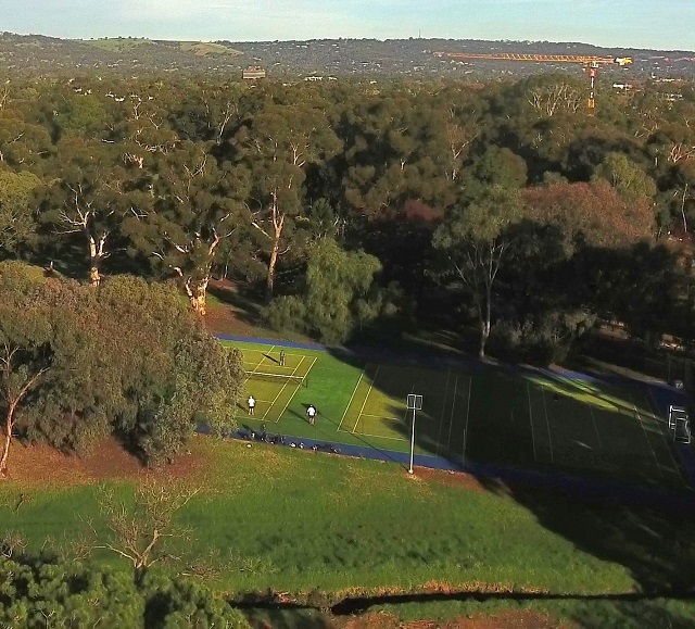
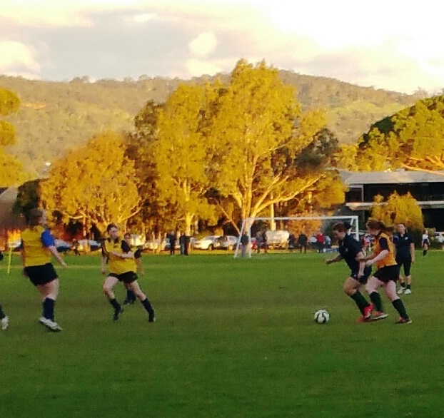
several sporting fields;
tennis courts;
the South Park Lands Creek;
two croquet club grounds;
site of a former 1881 partially-undergrounded water reservoir; and
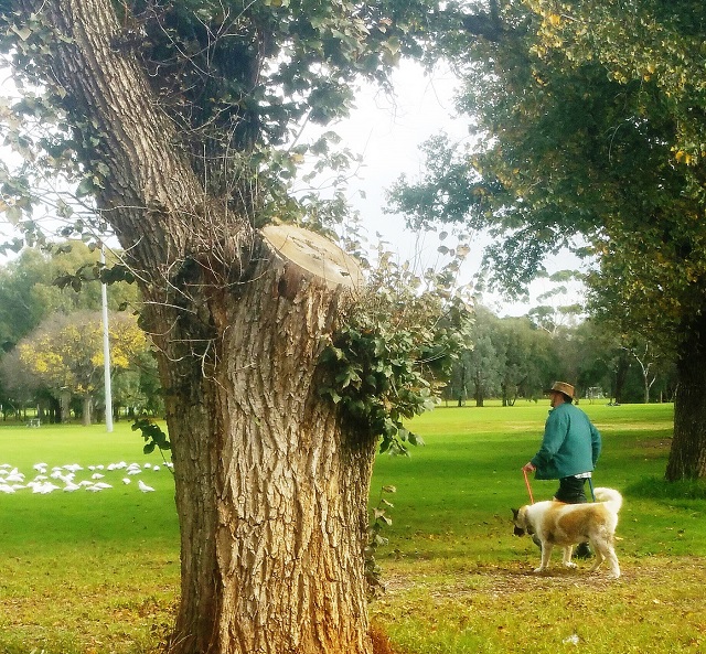
a 'Trees for Life' bush care site featuring native grass re-vegetation
Bounded by: Greenhill Road, Beaumont Road, South Terrace and Hutt Road.

Carriageway Park / Tuthangga (Park 17)
Trail Guide to Park 17
Take your own, self-guided exploration of this Park, using our Trail Guide. Start on South Terrace, opposite St Andrews Hospital.
It’s about 2 km. Allow 90 minutes. Simply click or tap on the image below:

Take a two-kilometre, 90-minute self-guided walk through this Park, using our Trail Guide. Start opposite St Andrews Hospital, 350 South Terrace (location #1 on the map above) and follow these guide notes: www.adelaide-parklands.asn.au/park-17-tour
This Park has been known as Park 17 since at least 1895. Its two names – 'Carriageway Park' and 'Tuthangga' are much more recent. The Kaurna name Tuthangga was assigned by the City Council in 2002. The title "Carriageway Park" was informally used in the 19th century, but was officially assigned to the Park only as recently as September 2017.
It is 31.6 hectares in size, making up approximately 4% of the Adelaide Park Lands.
Odd fact: the small corner triangle, south of Glen Osmond Road was historically known as Park 17A.
Related links: