by David Elliott, Chair of Bike Adelaide
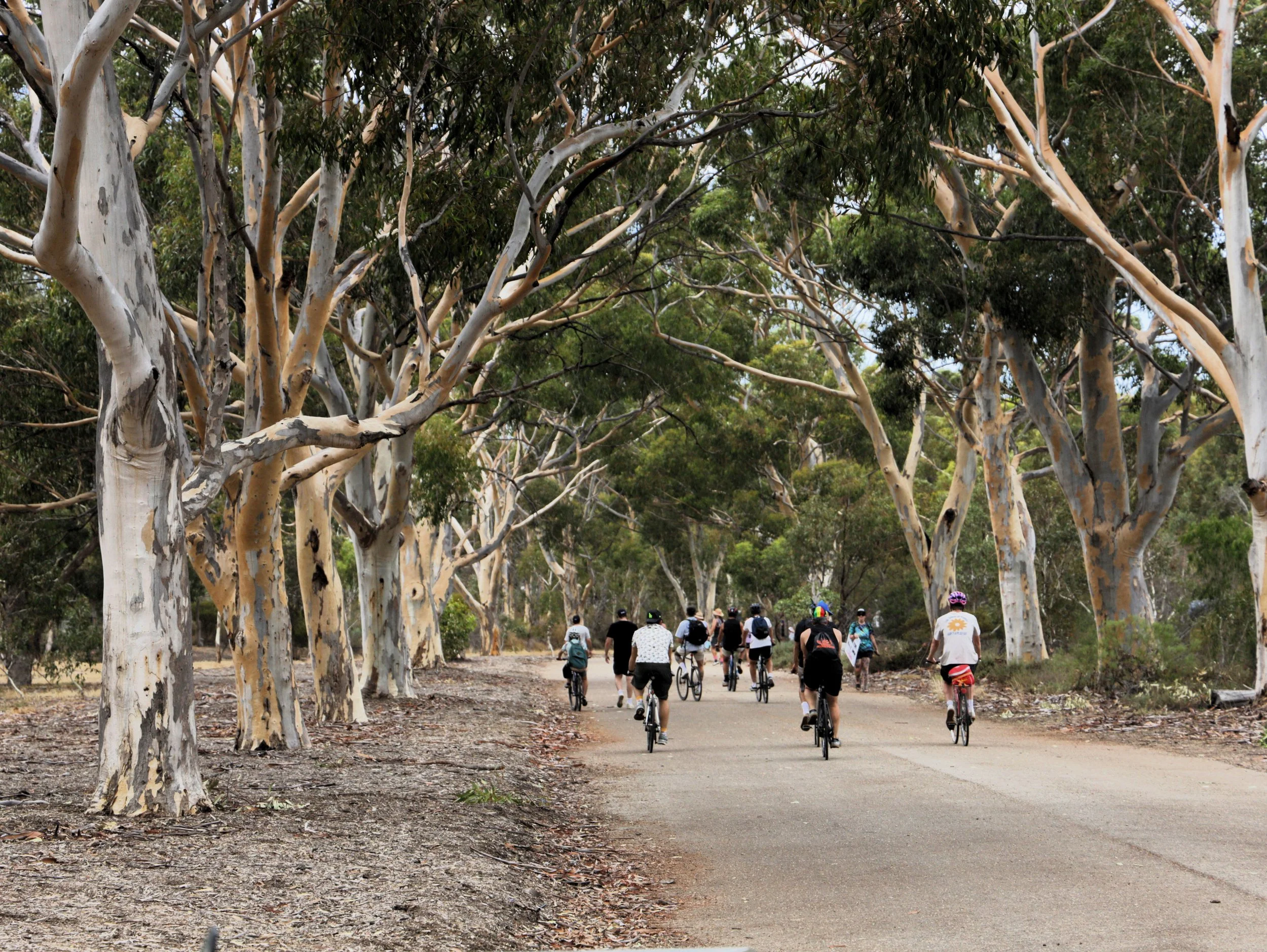
On a cool and drizzly Tuesday morning in March, nearly 3000 cyclists descended upon our Adelaide Park Lands. From all directions they came and, in all directions, they went but they all moved through our city’s green belt. Plodding along or whizzing by, this is the scene every weekday morning, and again every evening, as thousands of Adelaideans choose to cycle instead of driving for their journeys into the city centre.
We know this because every year, we count them and we plot where they go. And our data tells us that the Park Lands are critical to safe, connected cycling journeys in our city.
Super Tuesday is Bike Adelaide’s annual commuter cycling count running from 7 to 9am on the first Tuesday of March each year since 2007. This year’s count recorded 13,519 cyclists by more than 120 volunteers, at 132 sites across metropolitan Adelaide in thirteen council areas. The numbers are impressive and showed a clear preference for off-road bikeways.
And as with Roman roads, almost all of Adelaide’s bikeways lead to the Park Lands.
Many of our busiest cycling routes along the Karrawirra Pari, Mike Turtur Bikeway and Westside Bikeway are busy precisely because they are car-free and lead directly into the relative safety of our Park Lands. The comprehensive trails and paths allow cyclists to circulate or even bypass the city entirely and its congested streets.
But comparing the same sites counted this year and in 2025 (and every year since 2007), we know cycling has been gradually declining since 2015, and the city is being crammed with more cars. Not least with a couple hundred new on-street carparks installed since 2022, despite the anguished and performative cries of certain city councillors to the contrary.
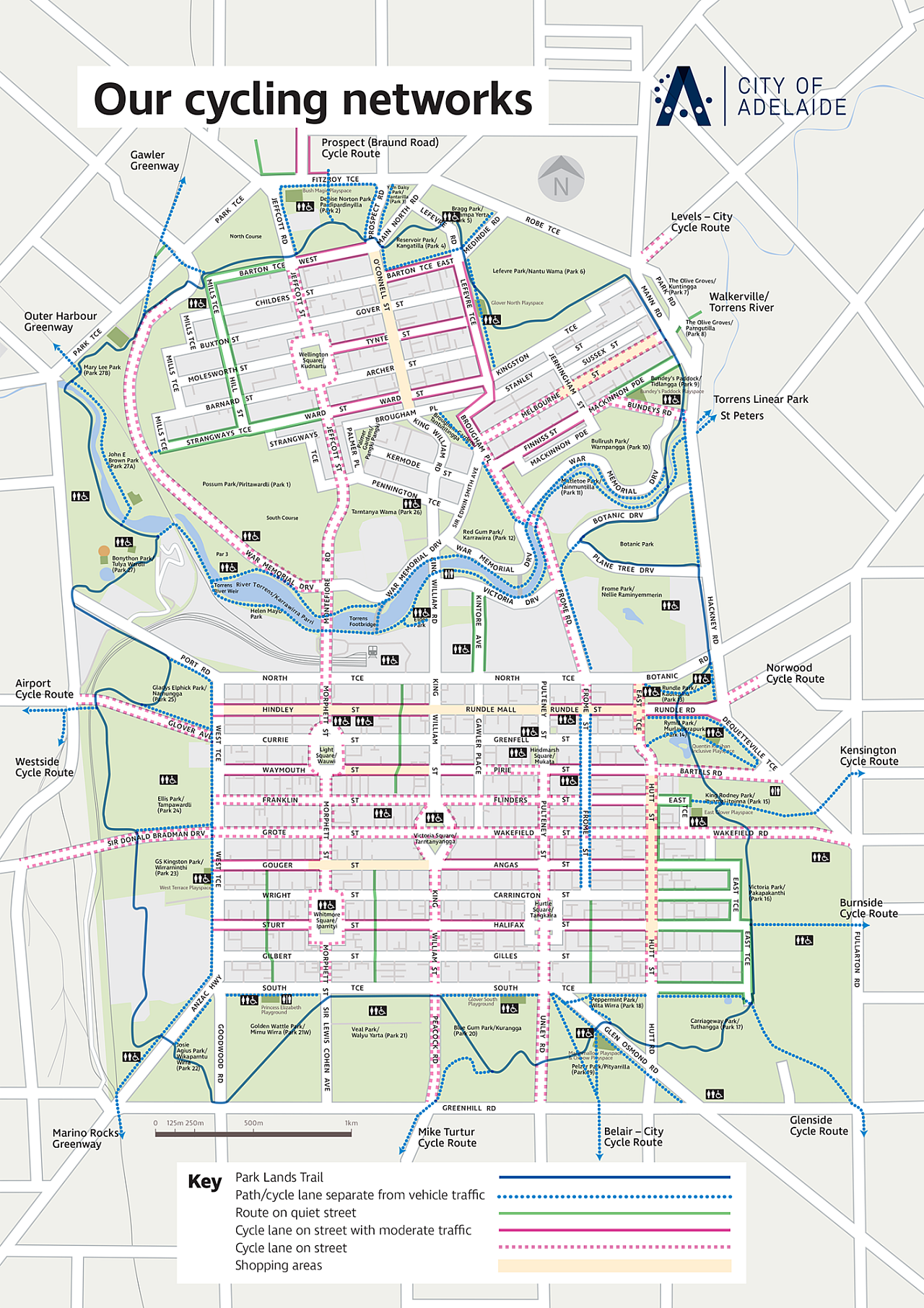
City of Adelaide Cycling Map
If all 2736 cyclists counted entering the Park Lands in the morning peak suddenly drove their car, that’s potentially 2736 more cars competing for city parking — equivalent to around 5% of the city’s parking supply, or another 50 or so standard Adelaide Metro buses. Our city is already choked with cars; cramming more in is the final smothering act.
Through early 2026, major path closures on the Torrens Linear Trail underpasses at Port Road and Montefiore Road, the Westside Bikeway severed at Deacon Ave and Railway Terrace, and the Mike Turtur Bikeway at Marion, Cross, South and King William Roads rendered a huge swathe of our metropolitan cycling network unnavigable.
This turned off the taps for cycling traffic into the city. This is in addition to path and road closures across Rymill, Rundle, Botanic and Victoria Parks to accommodate ever-expanding festivals and events.
During these closures, we expect many cyclists switched to driving rather than put their lives in the hands of motorists on main roads. Most of our main roads are simply not appealing alternative cycling routes, and our data also shows a clear preference to avoid cycling near cars at all. That’s a big problem when bikeways are so regularly closed or disrupted.
Worryingly, we see our roads overall becoming less safe and more congested with ever bigger cars. This has real consequences on people’s lives and the city’s productivity.
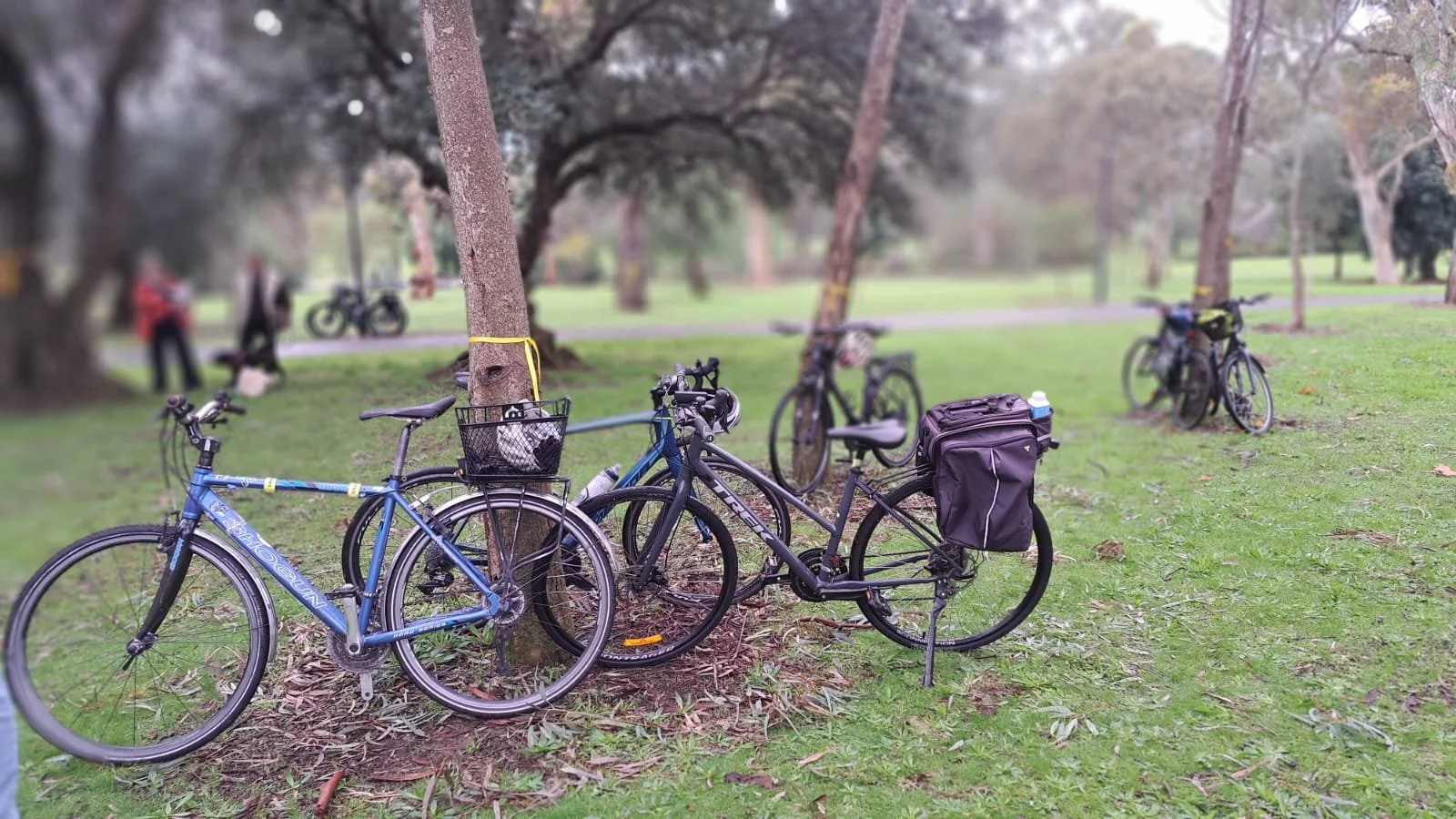
King Rodney Park - Ityamai-itpina Park 15 by Adelaide Writer
As of 26 August 2026, 75 people have lost their lives on SA roads this year, compared to 56 this time last year. Five of these people were cycling, one was just 17 years old.
Five out of the ten most popular cars bought in Australia in 2025 were large SUVs or utes - ‘Yank-Tanks’.
Media outlets report Adelaide as Australia’s most congested city so consistently since 2023 you don’t even need an online search to check if we’ve lost this prestigious mantle.
This makes safe places to cycle like the Park Lands paths and connected bikeways increasingly necessary for the city to actually function.
We do see increases in cycling when infrastructure is upgraded, like the 23 per cent increase observed in 2025 at Frome Rd after the bikeway was extended to Victoria Ave. This finally provided a safe, separated bikeway connection to the busy Torrens Linear Trail. But it took ten years for Council to muster the courage to do it.
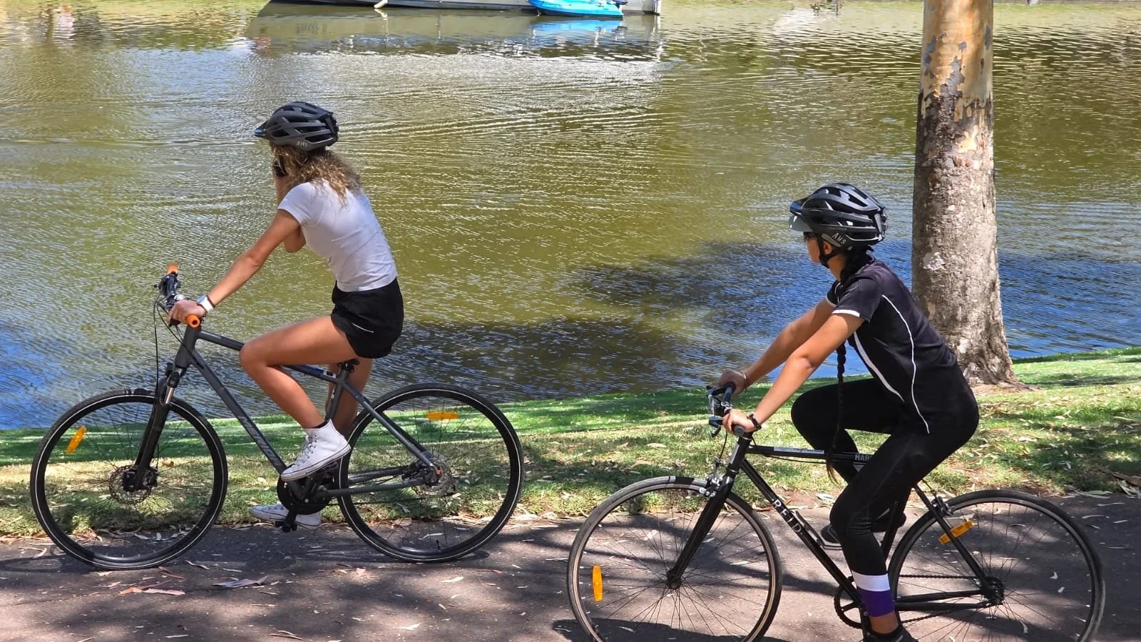
Cyclists, Red Gum Park - Karrawirra Park 12, source APA
And for the first time since 2015, City of Adelaide is building its second on-road bikeway. Running for just 600m, the Peacock Rd bikeway through the Park Lands finally connects the Mike Turtur Bikeway to King William St and the South Terrace shared path. These improvements take pressure off the paths, freeing up space for pedestrians, prams, kids zig-zagging and dogs stopping-and-sniffing.
While the Park Lands paths still carry the bulk of our city-bound cyclists, we need connections like Peacock and Frome Roads too. They provide safe cycling routes and are useful alternatives when roads and park paths are inevitably closed for large events.
They are the kind of projects that clearly demonstrate to all who drive alongside them that cycling is an option for them; if you’re tired of the tail-to-nose traffic, the Park Lands roads and paths will provide a far more pleasant journey.
Without them, closures and redevelopments – like the North Adelaide Golf Course expansion, more and bigger car races and Park Lands festivals – are squeezing onto fewer paths, with still fewer safe on-road alternatives. The Park Lands path network must be complemented by a robust separated, on-road bike network to weather the storms of large-scale closures.
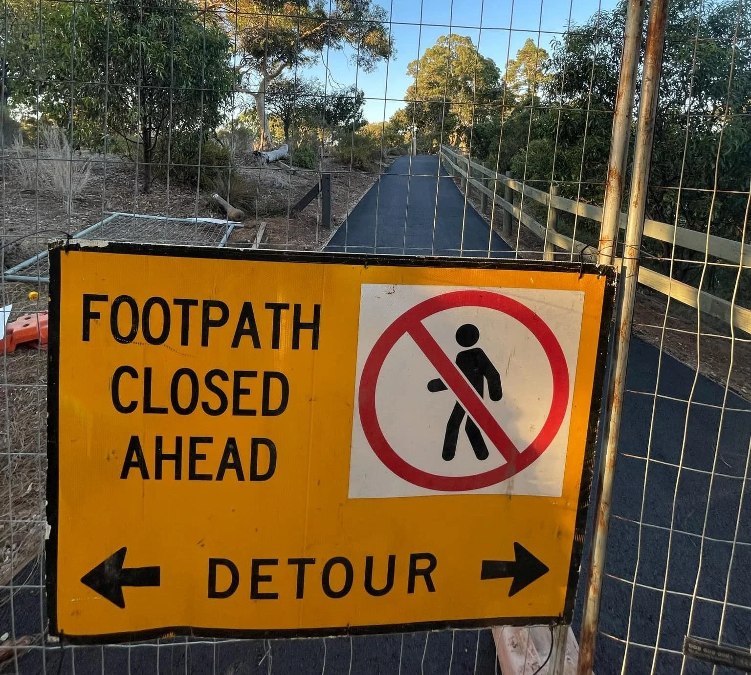
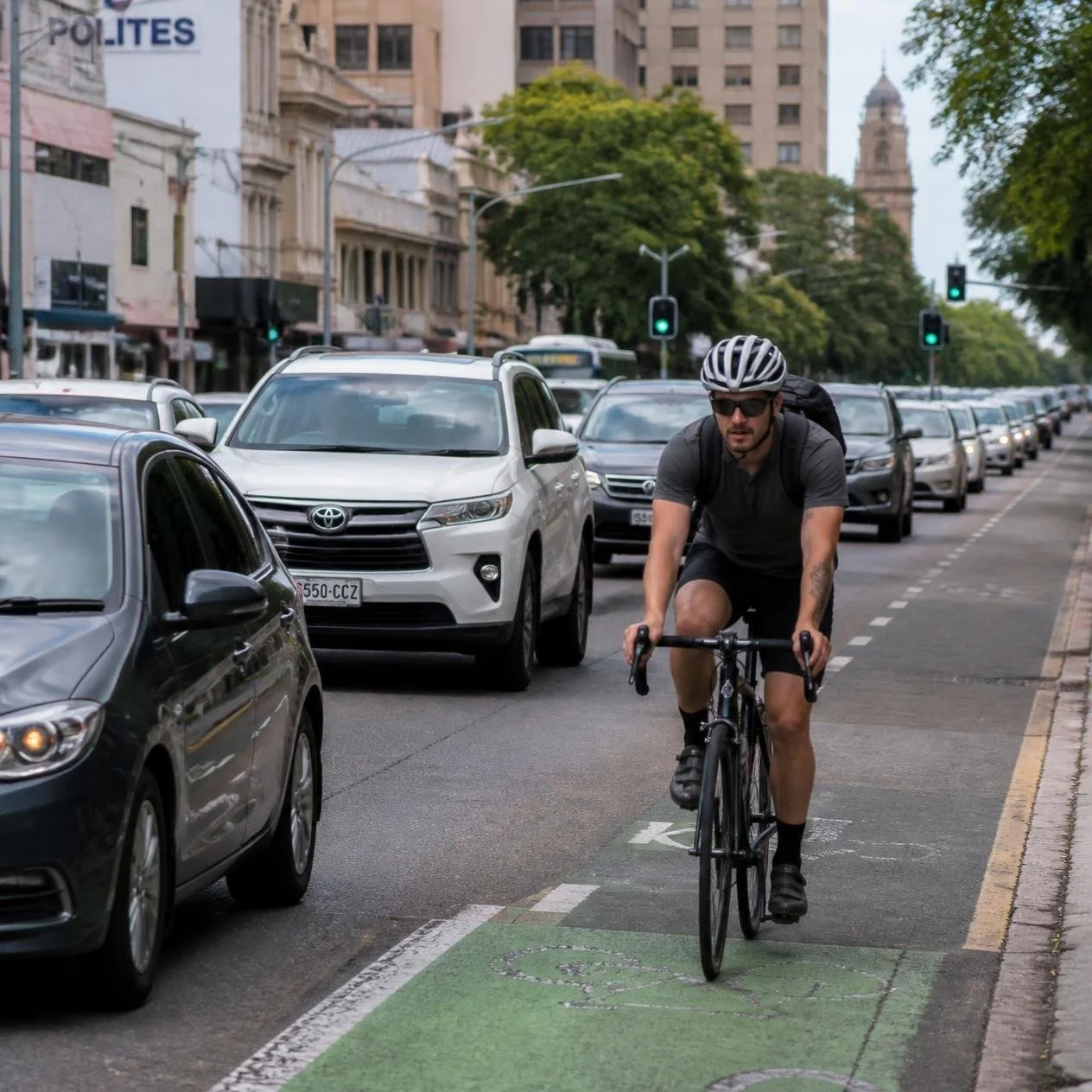
The gridlock caused by Park Lands road closures, compounded by path closures that disrupt cycling, is a symptom of our failure to develop transport options other than cars. This makes cycling in and through the Park Lands all the more vital for city access. Two-hour long drives or bus rides into the city from nearby suburbs during each big car race is not a situation to which we should ever acclimate.
When the roads are dammed and the paths are redirected, nimble bicycles on dedicated bikeways into and through the Park Lands will become the little water leaks that find the path of least resistance.
DAVID ELLIOTT